Hydrographers Range
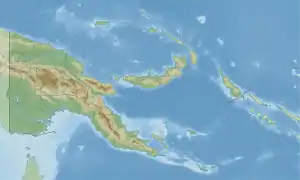
The Hydrographers Range is a forested mountain range in the Oro Province of southeastern Papua New Guinea. It extends from the eastern margin of Mount Lamington in the west to the Pacific Ocean coast in the east.[1]
| Hydrographers Range | |
|---|---|
 Hydrographers Range | |
| Highest point | |
| Elevation | 1,915 m (6,283 ft) |
| Coordinates | 9°0′S 148°37′E |
| Geography | |
| Location | Oro Province, Papua New Guinea |
| Geology | |
| Mountain type | Stratovolcano |
| Last eruption | Unknown |
This coastal range represents a deeply dissected stratovolcano formed during the Quaternary period. It consists mainly of andesite and basaltic andesite but basalt and dacite are also present. Much of this volcanic massif formed during the Pleistocene epoch, but late-stage volcanism produced well-preserved cinder cones and explosion craters on the southern side of the range presumably during the Holocene epoch.[1]
References
- "Hydrographers Range". Global Volcanism Program. Smithsonian Institution. Retrieved 2017-10-12.
This article is issued from Wikipedia. The text is licensed under Creative Commons - Attribution - Sharealike. Additional terms may apply for the media files.