Ferryden
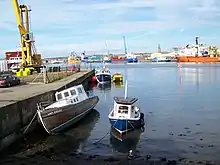
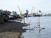
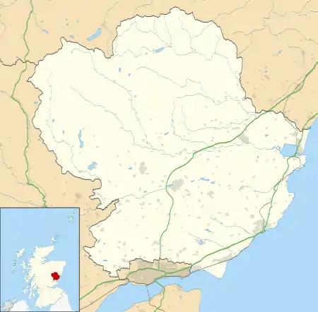
Ferryden is a village in Angus, Scotland in the community council area of Ferryden & Craig. It lies southerly adjacent to the town of Montrose on the south bank of the South Esk and is considered a fringe locality of Montrose, being connected to the latter by the former Rossie Island, now home to shipping facilities and Montrose Port Authority.


| Ferryden | |
|---|---|
 Ferryden Location within Angus | |
| Area | 0.26 km2 (0.10 sq mi) |
| Population | 920 (2011)[1] |
| • Density | 3,538/km2 (9,160/sq mi) |
| OS grid reference | NO7156 |
| Council area | |
| Lieutenancy area | |
| Country | Scotland |
| Sovereign state | United Kingdom |
| Post town | Montrose |
| Postcode district | DD10 |
| Police | Scotland |
| Fire | Scottish |
| Ambulance | Scottish |
| UK Parliament | |
| Scottish Parliament | |
Geography
Ferryden was joined to Rossie Island, a former island at the mouth of the South Esk in the late 20th century by infilling.[2] The 1911 Encyclopædia Britannica lists the population of the island (160) as separate from the village of Ferryden (1330):[3]
In the mouth of the channel of the South Esk lies the island of Rossie, or Inchbrayock (pop. 160), which in 1829 was connected with the burgh by means of a suspension bridge 432 ft. long and by a drawbridge with the south bank near the fishing village of Ferryden (pop. 1330). The harbour lies between the suspension bridge and the sea, and is provided with a wet dock.[3]

Facilities
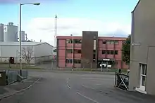
There is one school in the village, namely Ferryden Primary School on Craig Crescent.
References
- United Kingdom census, 2011
- "Rossie Island (Inchbraoch)". Gazetteer for Scotland. Retrieved 20 January 2019.
-
 Chisholm, Hugh, ed. (1911). "Montrose". Encyclopædia Britannica. 18 (11th ed.). Cambridge University Press. p. 794.
External links
- Scotland Ordnance Survey map of Ferryden and surrounds: Forfarshire Sheet XXXV.NW (includes: Craig; Maryton; Montrose) / Publication date: 1904 / Date revised: 1902 (Map). National Library of Scotland. 1904. Retrieved 7 January 2019.
- "Montrose–Ferryden Viaduct". ScotlandPlaces.gov.uk. Retrieved 9 January 2019.
- 1930 image showing Rossie Island separate from Ferryden: "Montrose, general view, showing Ferryden and Montrose Harbour. Oblique aerial photograph taken facing east". Canmore: National Record of the Historical Environment. August 1930. Retrieved 9 January 2019.
- 1974 image showing the tollhouse for Rossie Island bridge "Ferryden, Tollhouse Roadside view from NW". Canmore: National Record of the Historical Environment. 1974. Retrieved 9 January 2019.
| Wikimedia Commons has media related to Ferryden. |