Fertile Municipal Airport
Fertile Municipal Airport (FAA LID: D14)[2] is a public use airport located 1 nautical mile (1.9 km; 1.2 mi) northwest[2] of the central business district of Fertile, Polk County, Minnesota, United States. It is owned by the City of Fertile, Minnesota.[2]
Fertile Municipal Airport | |||||||||||
|---|---|---|---|---|---|---|---|---|---|---|---|
| Summary | |||||||||||
| Airport type | Public | ||||||||||
| Owner | City Of Fertile | ||||||||||
| Location | Fertile, Minnesota | ||||||||||
| Time zone | CST (UTC−06:00) | ||||||||||
| • Summer (DST) | CDT (UTC−05:00) | ||||||||||
| Elevation AMSL | 1,135 ft / 345.95 m | ||||||||||
| Coordinates | 47°33′6.9″N 096°17′31.9″W | ||||||||||
| Map | |||||||||||
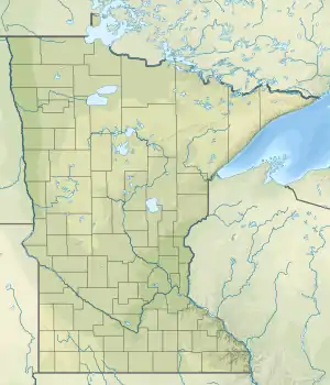
 'D14 Location of airport in Minnesota/United States  D14 D14 (the United States) | |||||||||||
| Runways | |||||||||||
| |||||||||||
The airport originally belonged to a flying club. The airport became a municipal airport in order to be eligible for State and Federal airport funds.[3]
Facilities and aircraft
Fertile Municipal Airport covers an area of 130 acres (53 ha) at an elevation of 1,135 feet (346 m) above mean sea level. It has one runway designated 14/32 with an asphalt surface measuring 3,002 by 60 feet (915 x 18.3 m).[2]
For the 12-month period ending July 31, 2018, the airport had 7,800 general aviation aircraft operations, an average of 21 per day.[2]
References
- "Fertile Municipal Airport" (PDF). Airport Directory. Minnesota DOT. Retrieved 2018-11-09.
- FAA Airport Form 5010 for D14 PDF, effective 2009-07-02.
- Foster, Tom (November 2018). "Airport of the Month". Minnesota Flyer.
External links
- Resources for this airport:
- FAA airport information for D14
- AirNav airport information for D14
- FlightAware airport information and live flight tracker
- SkyVector aeronautical chart for D14