Fort Bainbridge
Fort Bainbridge was an earthen fort located along the Federal Road on what is today the county line between Macon and Russell counties in Alabama.
| Fort Bainbridge | |
|---|---|
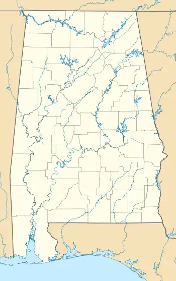 Location of Fort Bainbridge in Alabama | |
| Location | Near Boromville, Alabama |
| Coordinates | 32°19′08″N 85°26′06″W |
| Built | 1814 |
History
Fort Bainbridge is believed to be named in honor of naval captain William Bainbridge.[1] It was either constructed in late 1813 or early 1814 by Georgia troops under the command of Colonel Homer V. Milton or General John B. Floyd in an effort to protect the supply route from Fort Hull to Fort Mitchell.[1][2] Floyd left his supplies at the fort when he marched westward to fight the Battle of Calebee Creek.[3] Fort Bainbridge was built in the style of a bastion fort with eight outcroppings.[4]
Captain Kendall Lewis, along with his Creek chief father-in law, Big Warrior, operated a tavern as a stagecoach stop about 400 yards west of Fort Bainbridge, which stayed open under the care of Lewis' widow until at least 1836.[5] During his return tour, the Marquis de Lafayette stayed at the Lewis Tavern for his first night in Alabama.[6] The site of the fort also lies along naturalist William Bartram's four-year journey through the Southern United States, during which he documented the flora, fauna and Native Americans of the area.[2] The fort site was later used as a plantation.[7]
Today, it remains unmarked and its legacy lies in a small unincorporated community, Boromville, that developed from it.[8] Though unmarked, the location is known and the area has been damaged by relic hunters.[9]
References
- Bunn, Mike (1 July 2008). Battle for the Southern Frontier: The Creek War and the War of 1812. Mount Pleasant, SC: Arcadia Publishing. ISBN 9781625843814.
- Bartram Trail Conference (1979). A Study of the Life of William Bartram. Montgomery, AL: The Bartram Trail Conference. p. 134.
- Harris, W. Stuart (1977). Dead Towns of Alabama. Tuscaloosa, Alabama: University of Alabama Press. p. 36. ISBN 0-8173-1125-4.
- "More Notable People, Places and Events about The Ridge Project Area, The Ridge Neighborhood and Surrounding South Macon Communities". Macon Co., AL: The Ridge. Retrieved 5 March 2017.
- "Stage Stops and Taverns of Early Alabama Prior to 1840". Genealogy Trails. Retrieved 5 March 2017.
- "Alabama threw parties for Lafayette [photographs] and Selma played a prank on the citizens of their town". Alabama Pioneers. 3 May 2016. Retrieved 5 March 2017.
- Braund, Kathryn; Waselkov, Gregory; Christopher, Raven (2019). The Old Federal Road in Alabama. Tuscaloosa: University of Alabama Press. p. 100. ISBN 978-0-8173-5930-0.
- "The Ridge Facts and Tidbits". Macon Co., AL: The Ridge. Retrieved 5 March 2017.
- Braund, Kathryn E. Holland (2012). Tohopeka: Rethinking the Creek War & the War of 1812. Tuscaloosa, Alabama: University of Alabama Press. p. 249. ISBN 978-0-8173-5711-5.
