Gáldar
Gáldar is a town and a Spanish municipality in the north of the island of Gran Canaria in the Province of Las Palmas in the Canary Islands. Its population is 24,227 (2013),[3] and the area is 61.59 km2 (23.78 sq mi).[1]
Gáldar | |
|---|---|
 Gáldar | |
 Flag .svg.png.webp) Coat of arms | |
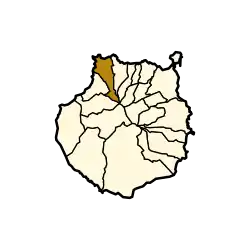 Municipal location in Gran Canaria | |
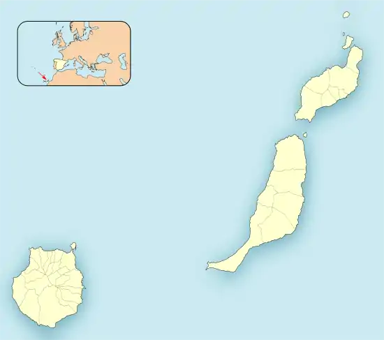 Gáldar Location in the province of Las Palmas 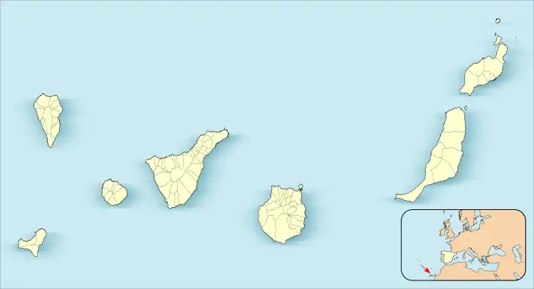 Gáldar Gáldar (Canary Islands) 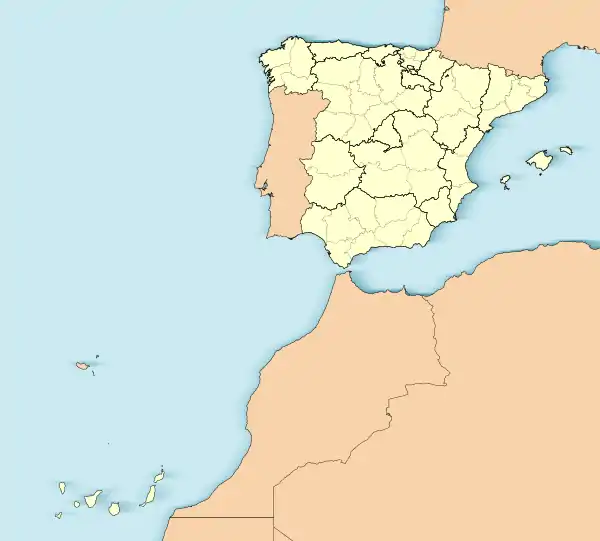 Gáldar Gáldar (Spain, Canary Islands) | |
| Coordinates: 28°8′38″N 15°39′1″W | |
| Country | |
| Autonomous Community | |
| Province | Las Palmas |
| Island | Gran Canaria |
| Government | |
| • Mayor | Teodoro Claret Sosa Monzón |
| Area | |
| • Total | 61.59 km2 (23.78 sq mi) |
| Elevation (AMSL) | 124 m (407 ft) |
| Population (2018)[2] | |
| • Total | 24,209 |
| • Density | 390/km2 (1,000/sq mi) |
| Time zone | UTC+0 (CET) |
| • Summer (DST) | UTC+1 (CEST (GMT +1)) |
| Postal code | 35460 |
| Area code(s) | +34 (Spain) + 928 (Las Palmas) |
| Website | www.galdar.es |
The town Gáldar is situated at the foot of the mountains, 2 km from the coast and 21 km (13 mi) west of Las Palmas. The GC-2 motorway passes south of the town. The municipality includes the settlements Puerto de Sardina, San Isidro, Los Quintanas, Barrial and Marmolejos.
It holds the Painted cave, a major archaeological site consisting of a remarkable painted cave and an entire pre-Hispanic village visited yearly by over 50,000 people.
Population
|
|
Gallery
.jpg.webp) Gáldar from space
Gáldar from space.jpg.webp) Gáldar from space
Gáldar from space Gáldar
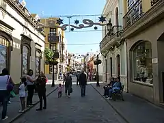 Gáldar - Calle Capitan Quesada
See also
References
- Instituto Canario de Estadística, area
- Municipal Register of Spain 2018. National Statistics Institute.
- Instituto Canario de Estadística Archived 2014-04-22 at Archive.today, population
External links
Places adjacent to Gáldar | ||||||||||
|---|---|---|---|---|---|---|---|---|---|---|
| ||||||||||
| |||||||||
| Governance |   | ||||||||
| Municipalities | |||||||||
| History |
| ||||||||
| Nature |
| ||||||||
| Landmarks and attractions |
| ||||||||
| Transport |
| ||||||||
| Sport |
| ||||||||
| Education and science |
| ||||||||
| Authority control |
|
|---|
This article is issued from Wikipedia. The text is licensed under Creative Commons - Attribution - Sharealike. Additional terms may apply for the media files.