Gâvres
Gâvres (Breton: Gavr) is a commune in the Morbihan department of Brittany in north-western France. French Navy Minister Hyde de Neuville chose this place as a military testing area in 1829 for heavy marine ordnance.[3] The extensive experiments performed at sea have later provided part of the data upon which Hugoniot's theory is based.
Gâvres
Gavr | |
|---|---|
 The beach at Gâvres | |
.svg.png.webp) Coat of arms | |
Location of Gâvres 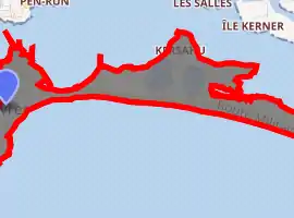
| |
 Gâvres 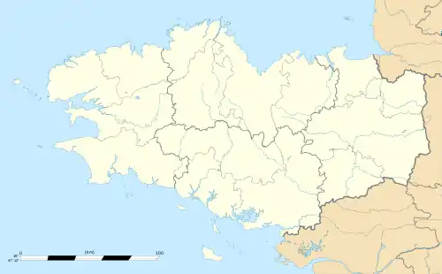 Gâvres | |
| Coordinates: 47°41′23″N 3°21′15″W | |
| Country | France |
| Region | Brittany |
| Department | Morbihan |
| Arrondissement | Lorient |
| Canton | Pluvigner |
| Intercommunality | Lorient Agglomération |
| Government | |
| • Mayor (2020–2026) | Dominique Le Vouëdec[1] |
| Area 1 | 1.88 km2 (0.73 sq mi) |
| Population | 675 |
| • Density | 360/km2 (930/sq mi) |
| Time zone | UTC+01:00 (CET) |
| • Summer (DST) | UTC+02:00 (CEST) |
| INSEE/Postal code | 56062 /56680 |
| Elevation | 0–10 m (0–33 ft) |
| 1 French Land Register data, which excludes lakes, ponds, glaciers > 1 km2 (0.386 sq mi or 247 acres) and river estuaries. | |
Demographics
Inhabitants of Gâvres are called in French Gâvrais.
See also
References
- "Maires du Morbihan" (PDF). Préfecture du Morbihan. 7 July 2020.
- "Populations légales 2017". INSEE. Retrieved 6 January 2020.
- See the governmental directions of June 22, 1829, quoted in Marie-France Aubry. "L'Histoire du Polygone de Gavres" (PDF). Town of Gâvres Cap-Lorient. association Gâvres, Arts et Traditions..
External links
| Wikimedia Commons has media related to Gâvres. |
- Base Mérimée: Search for heritage in the commune, Ministère français de la Culture. (in French)
- Mayors of Morbihan Association (in French)
| Authority control |
|
|---|
This article is issued from Wikipedia. The text is licensed under Creative Commons - Attribution - Sharealike. Additional terms may apply for the media files.