Garachico
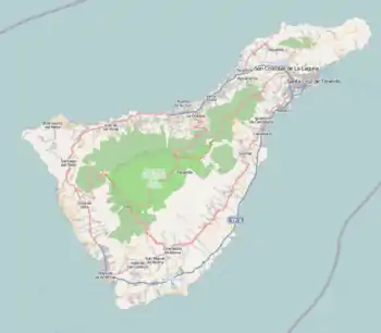
Garachico is a municipality and town on the northern coast of Tenerife, about 52 km West of the capital Santa Cruz de Tenerife, 50 km from Tenerife North Airport and 67 km from Tenerife South Airport. The town itself nestles below a 500m+ (1500 ft) cliff.
Garachico | |
|---|---|
 Flag  Coat of arms | |
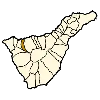 Municipal location in Tenerife | |
 Garachico Location of the town in Tenerife 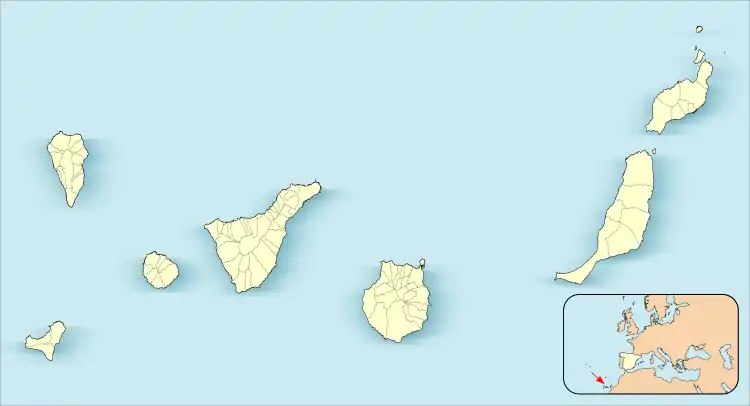 Garachico Garachico (Canary Islands) 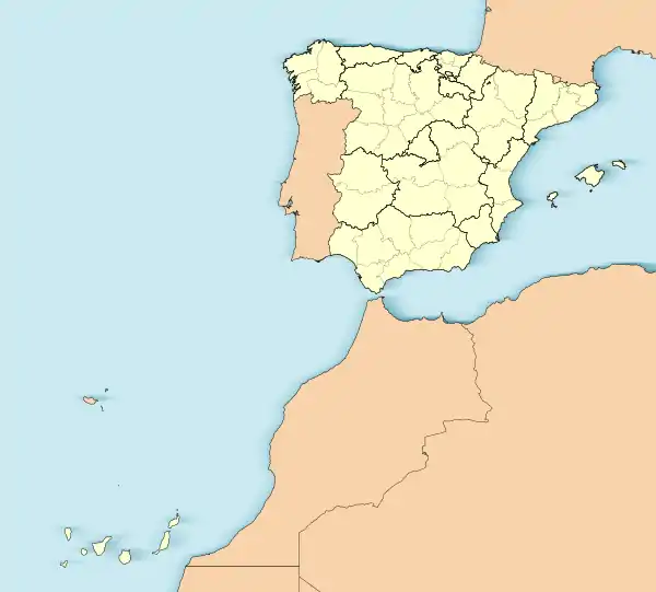 Garachico Garachico (Spain, Canary Islands) | |
| Coordinates: 28°22′20″N 16°45′50″W | |
| Country | |
| Autonomous community | |
| Province | |
| Island | |
| Area | |
| • Total | 29.28 km2 (11.31 sq mi) |
| Elevation | 10 m (30 ft) |
| Population (2018)[2] | |
| • Total | 4,819 |
| • Density | 160/km2 (430/sq mi) |
| Climate | Csa |
The city of Garachico with its port was founded by the Genoan banker Cristóbal de Ponte after the conquest of Tenerife in 1496.
The May 5, 1706 eruption originating from the northwest rift zone was a major event in the town's history. Prior to then, Garachico was an important port exporting Malmsey Wine and other local produce. However, a several-week-long eruption poured lava into the old bay and effectively destroyed the town's livelihood. The town itself was partially destroyed. (contrary to the 'Tourist trade' myth, which will tell you that the town was completely destroyed, except for the church where the townfolk took refuge)
Garachico has always taken care of its environment and protected the most diverse cultural manifestations. For all these reasons, the Spanish government awarded the town the Gold Medal of Fine Arts, which was presented in 1980 by His Majesty the King.
Pictures
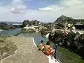 "piscinas"
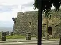 old buildings
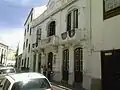 tiny street
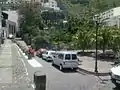 small park
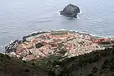 view
view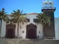 old buildings
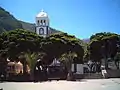 view
view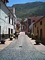 street
.jpg.webp) Church of Santa Ana
Church of Santa Ana
References
- "SUPERFICIE, PERÍMETRO Y ALTITUD DE LOS MUNICIPIOS DE CANARIAS" (in Spanish). Instituto Canario de Estadística (ISTAC).
- Municipal Register of Spain 2018. National Statistics Institute.
See also
| Wikimedia Commons has media related to Garachico. |
| Wikivoyage has a travel guide for Garachico. |
Places adjacent to Garachico | |
|---|---|
| Authority control |
|---|
