Gaspoltshofen
Gaspoltshofen is a municipality in the district of Grieskirchen in the Austrian state of Upper Austria.
Gaspoltshofen | |
|---|---|
.jpg.webp) | |
 Coat of arms | |
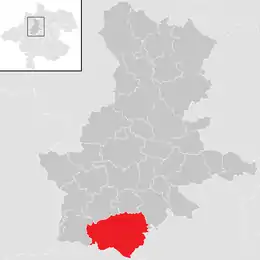 Location in the district | |
 Gaspoltshofen Location within Austria | |
| Coordinates: 48°08′40″N 13°44′11″E | |
| Country | Austria |
| State | Upper Austria |
| District | Grieskirchen |
| Government | |
| • Mayor | Wolfgang Klinger (FPÖ) |
| Area | |
| • Total | 40.61 km2 (15.68 sq mi) |
| Elevation | 455 m (1,493 ft) |
| Population (2018-01-01)[2] | |
| • Total | 3,566 |
| • Density | 88/km2 (230/sq mi) |
| Time zone | UTC+1 (CET) |
| • Summer (DST) | UTC+2 (CEST) |
| Postal code | 4673, 4674 (Altenhof) |
| Area code | 07735 |
| Vehicle registration | GR |
| Website | www.gaspoltshofen. ooe.gv.at |
Geography
Gaspoltshofen lies in the Hausruckviertel. About 19 percent of the municipality is forest, and 71 percent is farmland.
References
- "Dauersiedlungsraum der Gemeinden Politischen Bezirke und Bundesländer - Gebietsstand 1.1.2018". Statistics Austria. Retrieved 10 March 2019.
- "Einwohnerzahl 1.1.2018 nach Gemeinden mit Status, Gebietsstand 1.1.2018". Statistics Austria. Retrieved 9 March 2019.
| Wikimedia Commons has media related to Gaspoltshofen. |
| Authority control |
|---|
This article is issued from Wikipedia. The text is licensed under Creative Commons - Attribution - Sharealike. Additional terms may apply for the media files.