Gobernador Gregores Airport
Gobernador Gregores Airport (IATA: GGS, ICAO: SAWR), is an airport serving Gobernador Gregores, a town in the Santa Cruz Province of Argentina. The airport is 6 kilometres (4 mi) east-southeast of the town, on a low mesa above the Chico River.
Gobernador Gregores Airport | |||||||||||
|---|---|---|---|---|---|---|---|---|---|---|---|
| Summary | |||||||||||
| Airport type | Public | ||||||||||
| Location | Gobernador Gregores, Argentina | ||||||||||
| Elevation AMSL | 1,168 ft / 356 m | ||||||||||
| Coordinates | 48°46′58″S 70°09′00″W | ||||||||||
| Map | |||||||||||
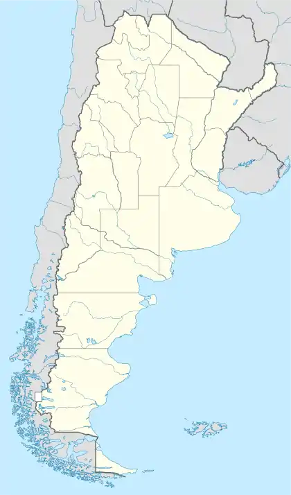 GGS Location of airport in Argentina | |||||||||||
| Runways | |||||||||||
| |||||||||||
An overrun of 300 metres (980 ft) on the west end of the runway will drop off the mesa. There is a higher mesa just off the east end, less than 500 metres (1,600 ft) north of the approach path.
The Gobernador Gregores non-directional beacon (Ident: GRE) is located on the field.[3]
Airlines and destinations
| Airlines | Destinations |
|---|---|
| LADE | Comodoro Rivadavia, Puerto San Julián |
See also
 Argentina portal
 Aviation portal
- Transport in Argentina
- List of airports in Argentina
References
- "Gobernador Gregores Airport". SkyVector. Retrieved 21 June 2019.
- "Gobernador Gregores Airport". Google Maps. Retrieved 21 June 2019.
- "Gobernador Gregores NDB". Our Airports. Retrieved 21 June 2019.
External links
- OpenStreetMap - Gobernador Gregores Airport
- Airport information for Gobernador Gregores Airport at Great Circle Mapper.
- Accident history for GGS at Aviation Safety Network
| Authority control |
|---|
This article is issued from Wikipedia. The text is licensed under Creative Commons - Attribution - Sharealike. Additional terms may apply for the media files.