Univ. Río Matanza Aeroclub
Centro Universitario de Aviación (Spanish: Matanza/Aeroclub Universitario, ICAO: SADZ) is an airport serving La Matanza Partido, a southern district in the Greater Buenos Aires conurbation. The airport is located within a bend of the Matanza River in the partido.
Aeroclub Universitario Centro Universitario de Aviación Matanza Airport | |||||||||||||||
|---|---|---|---|---|---|---|---|---|---|---|---|---|---|---|---|
| Summary | |||||||||||||||
| Airport type | Public | ||||||||||||||
| Owner | Centro Universitario de Aviación | ||||||||||||||
| Operator | Univ. Aeroclub | ||||||||||||||
| Serves | La Matanza Partido, Argentina | ||||||||||||||
| Elevation AMSL | 9 ft / 3 m | ||||||||||||||
| Coordinates | 34°43′35″S 58°30′05″W | ||||||||||||||
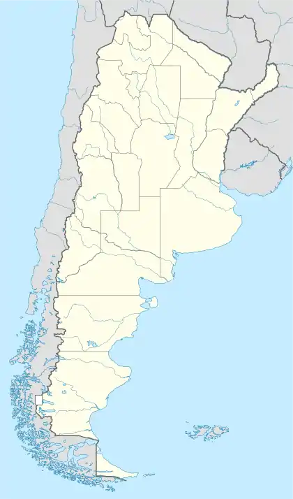
| Map | |||||||||||||||
 SADZ Location of airport in Argentina | |||||||||||||||
| Runways | |||||||||||||||
| |||||||||||||||
The airport was begun by the Centro Universitario de Aviación in 1929 as a center for pilot training.[4]
Approaches to Runway 27 and Runway 35 are over residential areas, and both runways have displaced thresholds, not included in runway length.[2]
The Ezeiza VOR-DME (Ident: EZE) is located 6.1 nautical miles (11 km) south-southeast of the airport.[5]
See also
 Argentina portal
 Aviation portal
- Transport in Argentina
- List of airports in Argentina
References
- Airport record for Univ. Río Matanza Aeroclub at Landings.com. Retrieved 2 September 2013
- "Centro Universitario de Aviación". Google Maps. Google. Retrieved 9 June 2019.
- Airport information for Aeroclub Univ at Great Circle Mapper.
- "Centro Universitario de Aviación". Portal Aereo. Retrieved 9 June 2019. (in Spanish)
- "Ezeiza VOR". Our Airports. Retrieved 9 June 2019.
External links
- OpenStreetMap - Centro Universitario de Aviación
- OurAirports - Matanza Airport
- FallingRain - Matanza Airport
- Accident history for Matanza/Aeroclub Universitario at Aviation Safety Network
This article is issued from Wikipedia. The text is licensed under Creative Commons - Attribution - Sharealike. Additional terms may apply for the media files.