Goromonzi
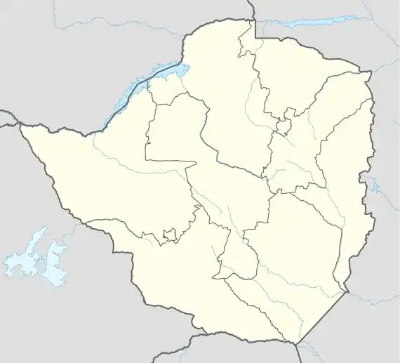
Goromonzi is a rural community in East Mashonaland, Zimbabwe, 20 miles (32 km) southeast of the country's capital city of Harare.[2] The people are principally from the Shona tribe. The village serves as a trading centre for commercial, communal and co-operative farms. It is also the administrative centre for the Chinyika communal land and Goromonzi District. The community is located on a subsidiary road north of the A3 highway to Harare.[3] Goromonzi Hill, at 1,581 metres (5,187 ft), is just southeast of the town.[3]
Goromonzi | |
|---|---|
Town | |
 Goromonzi | |
| Coordinates: 17°51′22″S 31°22′48″E | |
| Country | Zimbabwe |
| Province | Mashonaland East |
| District | Goromonzi District |
| Elevation | 1,465 m (4,806 ft) |
| Population (2012 Census)[1] | |
| • Total | 4,732 |
| Time zone | UTC+1 (CET) |
| • Summer (DST) | UTC+1 (CEST) |
Notes
- Zimbabwe National Statistics Agency. "2012 Census Provincial Report: Mashonaland East". Retrieved 25 May 2018.
- Goromonzi (Approved) at GEOnet Names Server, United States National Geospatial-Intelligence Agency
- Zimbabwe. Harare. Sheet SE-36-05 (Map) (1985 ed.). 1:250,0000. Surveyor General, Zimbabwe. Archived from the original on 18 March 2007.
This article is issued from Wikipedia. The text is licensed under Creative Commons - Attribution - Sharealike. Additional terms may apply for the media files.
