Gründau
Gründau is a municipality in the district Main-Kinzig, in Hesse, Germany.
Gründau | |
|---|---|
 Coat of arms | |
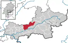
Location of Gründau within Main-Kinzig-Kreis district  | |
 Gründau  Gründau | |
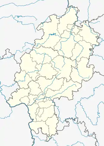
| Coordinates: 50°13′N 09°09′E | |
| Country | Germany |
| State | Hesse |
| Admin. region | Darmstadt |
| District | Main-Kinzig-Kreis |
| Subdivisions | 7 districts |
| Government | |
| • Mayor | Heiko Merz (SPD) |
| Area | |
| • Total | 67.64 km2 (26.12 sq mi) |
| Elevation | 135 m (443 ft) |
| Population (2019-12-31)[1] | |
| • Total | 14,619 |
| • Density | 220/km2 (560/sq mi) |
| Time zone | UTC+01:00 (CET) |
| • Summer (DST) | UTC+02:00 (CEST) |
| Postal codes | 63584 |
| Dialling codes | 06058, 06051 (Lieblos / Rothenbergen) |
| Vehicle registration | MKK |
| Website | www.gruendau.de |

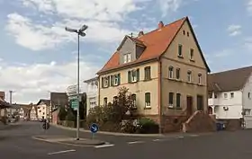
Gründau, view to a street: Bachgasse-Hain Gründauer Strasse
Geography
Neighbouring places
Gründau is located near Gelnhausen and Büdingen. Frankfurt am Main, the largest city in Hesse, is located in a distance of about 50 kilometres (30 mi).
Division of the municipality

Constituent communities
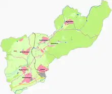
Gründau is a municipality that consists of seven villages, with a population of 14,670 in total (population as of June 2009):
- Lieblos (3,727, population as of June 2008)
- Rothenbergen (3,797, population as of June 2008)
- Niedergründau (1,785, population as of June 2008)
- Mittel-Gründau (2,103, population as of June 2008)
- Hain-Gründau (1,746, population as of June 2008)
- Breitenborn (1,144; population as of June 2008)
- Gettenbach (430, population as of June 2008)
History
Most of the villages are mentioned in church registers since the 11th century.
Religious affiliation
- 54.1% Protestants
- 18.9% Catholics
- 27% other faiths
Twin towns
- Laussonne, Département Haute-Loire (43), Auvergne, France
- Neugersdorf, Saxony (Sachsen), Germany
References
- "Bevölkerungsstand am 31.12.2019". Hessisches Statistisches Landesamt (in German). July 2020.
External links
- Official site (in German)
This article is issued from Wikipedia. The text is licensed under Creative Commons - Attribution - Sharealike. Additional terms may apply for the media files.