Greater Beirut
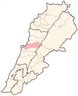
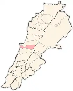
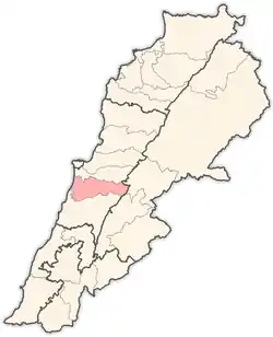
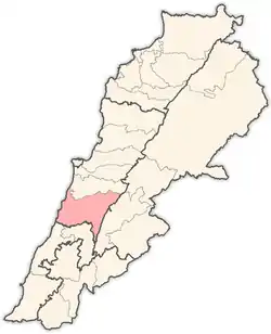
Greater Beirut (Arabic: بيروت الكبرى; French: Grand Beyrouth) is the urban agglomeration comprising the city of Beirut (Beirut Governorate) and the adjacent municipalities over the Mount Lebanon Governorate. It does not constitute a single administrative unit. Greater Beirut geographically stretches south to the Damour River in the Chouf District until it reaches the "Nahr al-Kalb" river in the Keserwan District in the north. It also comprises many towns and cities in the mountains in the Aley District, Baabda District and Metn District Districts, most notably being the cities of Baabda, Beit Mary, Bchamoun and Mtaileb. The conurbation spreads south, east, and north of Beirut city. To the west, the Eastern Mediterranean Sea serves as a natural boundary.
Greater Beirut | |
|---|---|
| Grand Beyrouth | |
| Country | |
| Cities | List of cities in Greater Beirut |
| Area | |
| • Land | 200 km2 (80 sq mi) |
| Population (30 September 2016) | ~2,200,000[1] |
| • Metro density | 11,000/km2 (30,000/sq mi) |
Demographics
Greater Beirut is equally split between Christians and Muslims:
List of cities
- Ain Aanoub
- Ain Saadeh
- Antelias
- Aramoun
- Baabda
- Basateen
- Bdadoun
- Bechamoun
- Beirut
- Beit Chabab
- Beit Mary
- Bourj Hammoud
- Bourj el-Barajneh
- Bsaba
- Bsalim
- Choueifat
- Chemlane
- Chiyah
- Damour
- Dahieh
- Dbayeh
- Dora
- Dekwaneh
- Hadath
- Hazmieh
- Jal el Dib
- Jdeideh
- Khaldeh
- Kfarshima
- Mansourieh
- Mkalles
- Mtaileb
- Na'ameh
- Naccache
- Qornet Shehwan
- Rabieh
- Roumieh
- Yarze
- Zalka
References
- "Questions & Answers: Water Supply Augmentation Project, Lebanon". The World Bank. 30 September 2016. Retrieved 20 March 2016.


