Harrells, North Carolina
Harrells is a town in Sampson County and Duplin County, North Carolina, United States. The population was 202 at the 2010 census.[5]
Harrells, North Carolina | |
|---|---|
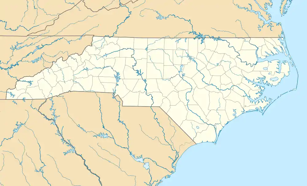 Harrells Location within the state of North Carolina | |
| Coordinates: 34°43′45″N 78°11′57″W | |
| Country | United States |
| State | North Carolina |
| Counties | Sampson, Duplin |
| Area | |
| • Total | 3.15 sq mi (8.17 km2) |
| • Land | 3.15 sq mi (8.17 km2) |
| • Water | 0.00 sq mi (0.00 km2) |
| Elevation | 85 ft (26 m) |
| Population (2010) | |
| • Total | 202 |
| • Estimate (2019)[2] | 197 |
| • Density | 62.48/sq mi (24.12/km2) |
| Time zone | UTC-5 (Eastern (EST)) |
| • Summer (DST) | UTC-4 (EDT) |
| ZIP code | 28444 |
| Area code(s) | 910 |
| FIPS code | 37-29680[3] |
| GNIS feature ID | 1025370[4] |
History
The Lewis Highsmith Farm and Dr. John B. Seavey House and Cemetery are listed on the National Register of Historic Places.[6] In 1969, a private Christian school, Harrells Christian Academy was founded in the town.[7]
Geography
Harrells is located in southeastern Sampson County at 34°43′45″N 78°11′57″W (34.729285, -78.199190).[8] A part of the northeast side of town falls within the southwest corner of Duplin County.
U.S. Route 421 passes through the town, leading north 22 miles (35 km) to Clinton, the Sampson County seat, and south 40 miles (64 km) to Wilmington. North Carolina Highway 41 leads east 14 miles (23 km) to Wallace and west 26 miles (42 km) to Elizabethtown.
According to the United States Census Bureau, the town has a total area of 3.2 square miles (8.2 km2), all of it land.[5]
Demographics
| Historical population | |||
|---|---|---|---|
| Census | Pop. | %± | |
| 1880 | 68 | — | |
| 1950 | 147 | — | |
| 1960 | 259 | 76.2% | |
| 1970 | 249 | −3.9% | |
| 1980 | 255 | 2.4% | |
| 1990 | 187 | −26.7% | |
| 2000 | 187 | 0.0% | |
| 2010 | 202 | 8.0% | |
| 2019 (est.) | 197 | [2] | −2.5% |
| U.S. Decennial Census[9] | |||
As of the census[3] of 2000, there were 187 people, 80 households, and 58 families residing in the town. The population density was 59.3 people per square mile (22.9/km2). There were 86 housing units at an average density of 27.3 per square mile (10.5/km2). The racial makeup of the town was 55.08% White, 40.11% African American, 1.07% Native American, 3.74% from other races. Hispanic or Latino of any race were 5.35% of the population.
There were 80 households, out of which 21.3% had children under the age of 18 living with them, 51.3% were married couples living together, 17.5% had a female householder with no husband present, and 27.5% were non-families. 26.3% of all households were made up of individuals, and 11.3% had someone living alone who was 65 years of age or older. The average household size was 2.34 and the average family size was 2.78.
In the town, the population was spread out, with 17.1% under the age of 18, 7.0% from 18 to 24, 27.3% from 25 to 44, 26.2% from 45 to 64, and 22.5% who were 65 years of age or older. The median age was 44 years. For every 100 females, there were 94.8 males. For every 100 females age 18 and over, there were 101.3 males.
The median income for a household in the town was $29,375, and the median income for a family was $41,250. Males had a median income of $30,625 versus $23,750 for females. The per capita income for the town was $34,534. About 14.3% of families and 14.2% of the population were below the poverty line, including 17.9% of those under the age of eighteen and 10.3% of those 65 or over.
References
- "2019 U.S. Gazetteer Files". United States Census Bureau. Retrieved July 27, 2020.
- "Population and Housing Unit Estimates". United States Census Bureau. May 24, 2020. Retrieved May 27, 2020.
- "U.S. Census website". United States Census Bureau. Retrieved 2008-01-31.
- "US Board on Geographic Names". United States Geological Survey. 2007-10-25. Retrieved 2008-01-31.
- "Geographic Identifiers: 2010 Demographic Profile Data (G001): Harrells town, North Carolina". U.S. Census Bureau, American Factfinder. Archived from the original on February 13, 2020. Retrieved November 30, 2015.
- "National Register Information System". National Register of Historic Places. National Park Service. July 9, 2010.
- "About - Harrells Christian Academy". www.harrellsca.com. Retrieved 2017-02-20.
- "US Gazetteer files: 2010, 2000, and 1990". United States Census Bureau. 2011-02-12. Retrieved 2011-04-23.
- "Census of Population and Housing". Census.gov. Retrieved June 4, 2015.
Municipalities and communities of Duplin County, North Carolina, United States | ||
|---|---|---|
| Towns | 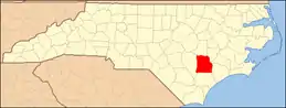 | |
| CDP | ||
| Other unincorporated communities | ||
| Footnotes | ‡This populated place also has portions in an adjacent county or counties | |
| ||
Municipalities and communities of Sampson County, North Carolina, United States | ||
|---|---|---|
| City | 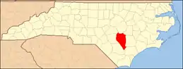 | |
| Towns | ||
| CDPs | ||
| Unincorporated communities | ||
| Footnotes | ‡This populated place also has portions in an adjacent county or counties | |
| ||
| Authority control |
|---|