Hawthorne Meadows
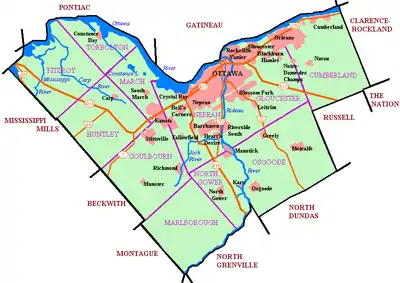
Hawthorne Meadows is a neighbourhood in Alta Vista Ward in southeast Ottawa, Ontario, Canada. It is triangular in shape; it is bounded on the west by St. Laurent Boulevard, on the northeast by Russell Road and on the south by Walkley Road.[2] According to the Canada 2016 Census, the population of this area was 3,577.[1]
Hawthorne Meadows | |
|---|---|
Neighbourhood | |
 Hawthorne Park | |
 Hawthorne Meadows | |
| Coordinates: 45°23′32″N 75°35′57″W | |
| Country | Canada |
| Province | Ontario |
| City | Ottawa |
| Government | |
| • MPs | David McGuinty |
| • MPPs | John Fraser |
| • Councillors | Jean Cloutier |
| Area | |
| • Total | 0.606 km2 (0.234 sq mi) |
| Elevation | 75 m (250 ft) |
| Population (2016) | |
| • Total | 3,577[1] |
| • Density | 5,903/km2 (15,290/sq mi) |
| Canada 2016 Census | |
| Time zone | UTC-5 (Eastern (EST)) |
| Forward sortation area | K1G |
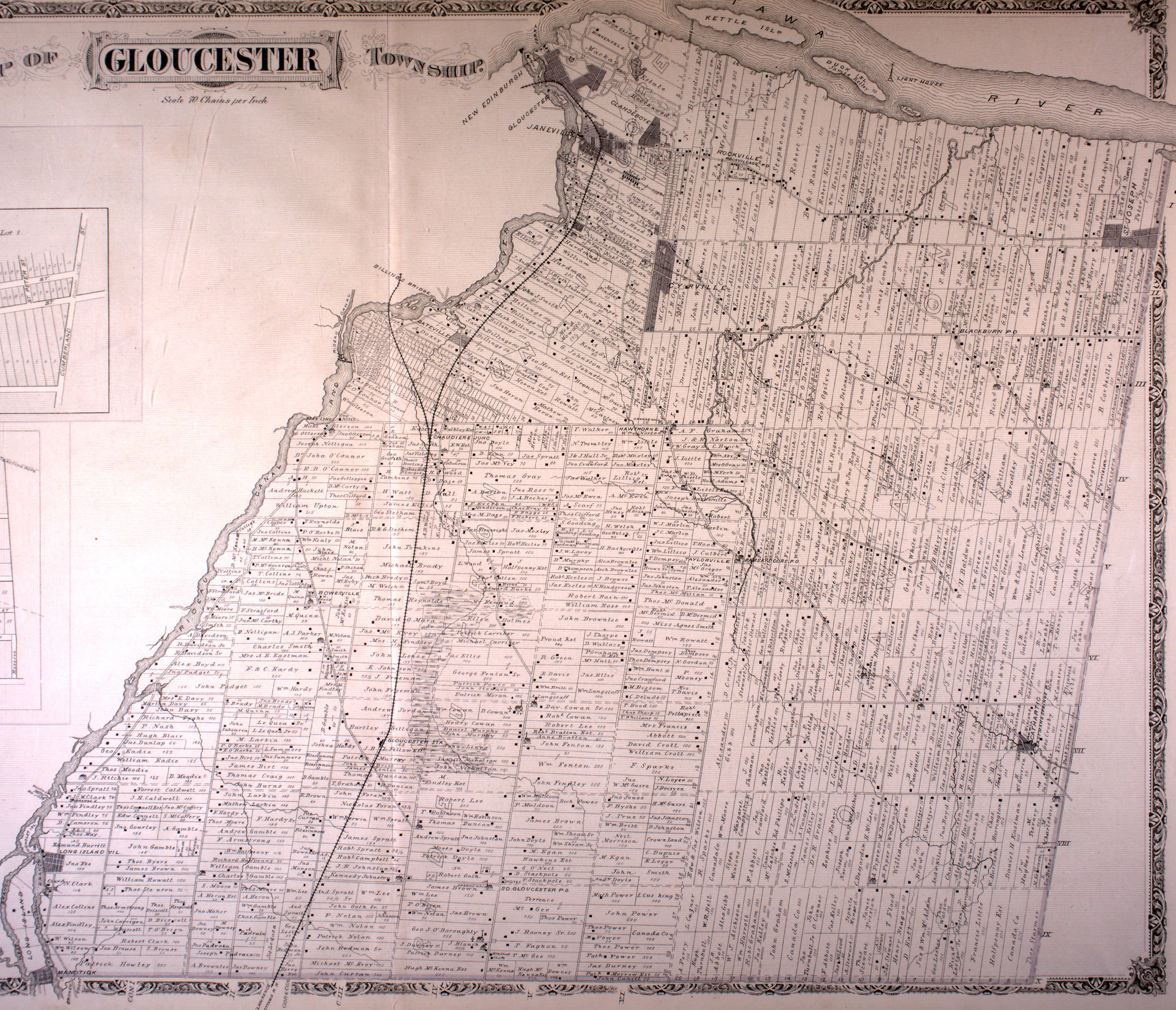
History
The neighbourhood exists at the site of the Hawthorne Post office and Orange Hall which was located at the corner of present day Walkley and Russell Roads.[3] The neighbourhood was mostly built in the 1960s[4][5] by Minto Construction.[6]
Demographics
The neighbourhood corresponds to Census Tract 5050010.00 (which also consists of the St. Laurent Square apartments, which are not in the neighbourhood). According to the 2016 Census, 47% of the population were Anglophones and 20% were Francophones. Other major languages include Arabic (8%), Somali (4%), Tagalog (3%), Spanish (2%), Creoles (2%), Italian (1%), Swahili (1%) and Urdu (1%).[7]
According to the Canada 2016 Census, 45% of the Census Tract was White, 22% was Black, 8% Arab, 5% Filipino, 5% South Asian, 2% Latin American, 2% West Asian, 2% Indigenous and 1% Southeast Asian.[8]
References
- Area and population totals calculated by subtracting Dissemination area 35061321 from Census Tract from Census Tract 0010.00
- Google Maps
- http://digital.library.mcgill.ca/countyatlas/images/maps/townshipmaps/car-m-gloucester.jpg
- Blackburn, Ontario. 1:25,000. Map Sheet 031G05H, ed. 2, 1963; Producer: Surveys and Mapping Branch, Department of Energy, Mines and Resources; Date published: 1963-01-01 (publication), 2016-01-01 (publication)
- Blackburn, Ontario. 1:25,000. Map Sheet 031G05H, ed. 3, 1971; Surveys and Mapping Branch, Department of Energy, Mines and Resources; Date published: 1971-01-01 (publication), 2016-01-01 (publication)
- "Now Selling Hawthorne Meadows". Ottawa Citizen. June 20, 1960. Retrieved December 6, 2020.
- http://www12.statcan.gc.ca/census-recensement/2011/dp-pd/prof/details/page.cfm?Lang=E&Geo1=CT&Code1=0845&Geo2=CMA&Code2=505&Data=Count&SearchText=&SearchType=Begins&SearchPR=01&B1=All&Custom=
- https://www12.statcan.gc.ca/census-recensement/2016/dp-pd/prof/details/page.cfm?Lang=E&Geo1=CT&Code1=5050010.00&Geo2=PR&Code2=01&Data=Count&SearchText=5050010.00&SearchType=Begins&SearchPR=01&B1=All&Custom=&TABID=3
Places adjacent to Hawthorne Meadows | ||||||||||
|---|---|---|---|---|---|---|---|---|---|---|
| ||||||||||
