Hoes Heights, Baltimore
Hoes Heights is an area of North Baltimore, Maryland in zip code 21211,[2] between West Cold Spring Lane and West 41st Street (north-south) and Evans Chapel Road and Falls Road (east-west).[1]
Hoes Heights | |
|---|---|
 Hoes Heights | |
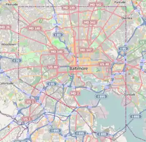
| Coordinates: 39°20′24″N 76°38′12″W | |
| Country | United States |
| State | Maryland |
| City | Baltimore |
| Named for | Grandison Hoe |
| Area | |
| • Land | .079 sq mi (0.20 km2) |
| Population (2010)[1] | |
| • Total | 790 |
| ZIP code | 21211 |
The neighborhood bears the name of Grandison Hoe, a freed slave in Antebellum Baltimore who once owned and operated a farm there.[3]
See also
References
- "Hoes Heights neighborhood in Baltimore, Maryland (MD), 21211 subdivision profile - real estate, apartments, condos, homes, community, population, jobs, income, streets". city-data.com. City-data.com. Retrieved 24 September 2014.
- "Baltimore, Maryland (MD) Zip Code Map - Locations, Demographics - list of zip codes". city-data.com. City-data.com. Retrieved 24 September 2014.
- "A Short History of Hoes Heights". underbelly. The Maryland Historical Society. Retrieved 24 September 2014.
This article is issued from Wikipedia. The text is licensed under Creative Commons - Attribution - Sharealike. Additional terms may apply for the media files.