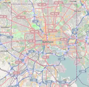
Oaklee, Baltimore
Oaklee is a neighborhood in the Southwest District of Baltimore, located at the city's edge between the neighborhoods of Irvington and Violetville. Its boundaries are triangle-shaped, with the Baltimore County line forming its southwestern base. From the triangle's apex to the northeast, U.S. Route 1 branches off from Wilkens Avenue to form the neighborhood's southeastern boundary, while Wilkens draws its northwestern edge from the apex to the base.[3]
Oaklee | |
|---|---|
neighborhood statistical area | |
 Oaklee | |
| Coordinates: 39.268°N 76.685°W | |
| Country | United States |
| State | Maryland |
| City | Baltimore |
| Area | |
| • Total | 0.056 sq mi (0.15 km2) |
| • Land | 0.056 sq mi (0.15 km2) |
| • Water | 0 sq mi (0 km2) |
| Elevation | 180 ft (50 m) |
| Population | |
| • Estimate (2009) | 763 |
| Time zone | UTC-5 (Eastern) |
| • Summer (DST) | UTC-4 (EDT) |
| ZIP code | 21229 |
| Area code | 410, 443, and 667 |
Public transportation
MTA Route 35 provides service to Oaklee along Wilkens Avenue as it travels between White Marsh Mall and UMBC.
The UMBC shuttle bus stops nearby at the intersection of Leeds Avenue and Colchester Road.[4]
References
- "Oaklee neighborhood in Baltimore". City-data.com. Retrieved April 8, 2011.
- "Oaklee Village". MD Home Town Locator. Retrieved April 8, 2011.
- See List of Baltimore neighborhoods
- "Arbutus/ Irvington Line". UMBC Transit (a department of the UMBC Division of Student Affairs). Retrieved April 8, 2011.
External links
- Baltimore City iMap. Interactive maps of Baltimore neighborhoods.
| Topics |   | |
|---|---|---|
| Attractions |
| |
| Entertainment | ||
| Education | ||
| Government | ||
| Industry | ||
| Parks | ||
| Sports | ||
| Transportation | ||
This article is issued from Wikipedia. The text is licensed under Creative Commons - Attribution - Sharealike. Additional terms may apply for the media files.