Hornby, Richmondshire
Hornby is a small village and civil parish located about 4 miles (6.4 km) north-west of Bedale. It is part of the non-metropolitan district of Richmondshire in the shire county of North Yorkshire, England.[2][3]
| Hornby | |
|---|---|
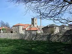
 The village of Hornby and the Church of Saint Mary | |
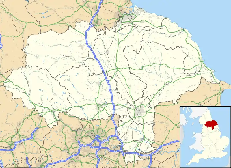
 Hornby Location within North Yorkshire | |
| Population | 280 (Including Appleton East and West, and Arrathorne 2011 census)[1] |
| OS grid reference | SE222938 |
| Civil parish |
|
| District | |
| Shire county | |
| Region | |
| Country | England |
| Sovereign state | United Kingdom |
| Post town | Bedale |
| Postcode district | DL8 |
| Police | North Yorkshire |
| Fire | North Yorkshire |
| Ambulance | Yorkshire |
Etymology
The name of the village is first attested in the Domesday Book of 1086 as Hornebi and Horneby. It derives from the Old Norse personal name Horni and the word bý ('farm'). Thus the name once meant 'farm belonging to Horni'.[4]
Governance
Hornby is part of the electoral ward of Hornby Castle.[3] This ward stretches north to Brough with St. Giles, with a total population of 1,766.[5]
References
- UK Census (2011). "Local Area Report – Hornby Parish (1170217156)". Nomis. Office for National Statistics. Retrieved 17 March 2018.
- Ordnance Survey: Landranger map sheet 99 Northallerton & Ripon (Pateley Bridge & Leyburn) (Map). Ordnance Survey. 2013. ISBN 9780319231593.
- "Ordnance Survey Election Maps". www.ordnancesurvey.co.uk. Ordnance Survey. Retrieved 3 April 2016.
- Smith, A H (1969). The place-names of the North Riding of Yorkshire (PDF). Cambridge: Cambridge University Press. p. 240. OCLC 16956730.
- UK Census (2011). "Local Area Report – Hornby Castle 2011 Census Ward (1237325135)". Nomis. Office for National Statistics. Retrieved 17 March 2018.
This article is issued from Wikipedia. The text is licensed under Creative Commons - Attribution - Sharealike. Additional terms may apply for the media files.