Horningtops
Horningtops is a hamlet south-southeast of Liskeard in east Cornwall, England in National Grid grid square SX2760.[1][2] It is in the civil parish of Dobwalls and Trewidland.
| Horningtops | |
|---|---|
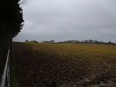 View towards 'Horningtops' | |
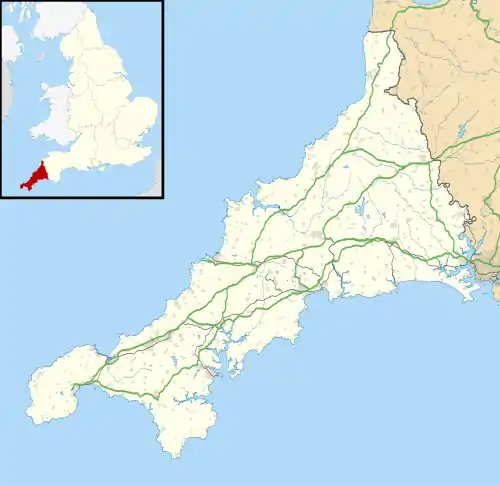 Horningtops Location within Cornwall | |
| OS grid reference | SX271608 |
| Civil parish | |
| Unitary authority | |
| Ceremonial county | |
| Region | |
| Country | England |
| Sovereign state | United Kingdom |
| Post town | Liskeard |
| Postcode district | PL14 3 |
References
- Ordnance Survey: Landranger map sheet 201 Plymouth & Launceston (Map). Ordnance Survey. ISBN 978-0-319-23287-3.
- Ordnance Survey One-inch Map of Great Britain; Bodmin and Launceston, sheet 186. 1961
Cornwall Portal | |
| Unitary authorities | |
| Major settlements |
|
| Rivers | |
| Topics | |
This article is issued from Wikipedia. The text is licensed under Creative Commons - Attribution - Sharealike. Additional terms may apply for the media files.