Hunsur
Hunsur is a city in Mysore district in the Indian state of Karnataka. It is the headquarters of the Hunsur Taluk administrative division.
Hunasuru | |
|---|---|
City | |
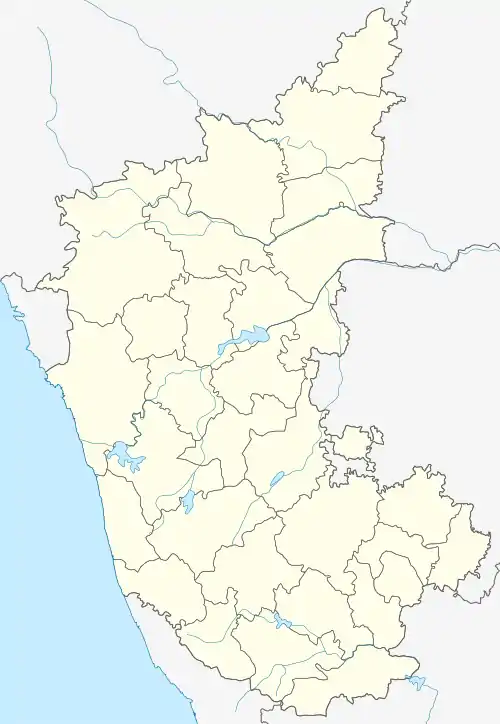 Hunasuru Location in Karnataka, India  Hunasuru Hunasuru (India) | |
| Coordinates: 12.3105671°N 76.2802055°E | |
| Country | India |
| State | Karnataka |
| District | Mysore |
| Elevation | 792 m (2,598 ft) |
| Population (2011) | |
| • Total | 50,865 |
| Languages | |
| • Official | Kannada |
| Time zone | UTC+5:30 (IST) |
| PIN | 571 105 |
| Telephone code | 08222 |
| Vehicle registration | KA-45( Includes nearby places like K R Nagar,Periyaptna and H D Kote) |
| Website | www |
Geography
Hunsur is located at 12.31°N 76.29°E.[1] Hunsur is situated on the western side of Mysore city on the way to Virajpet town (SH 90). Madikeri (NH-275) also lies on the western side of Hunsur on another road. Hassan (SH 86) lies on the northern side of Hunsur and H.D.Kote town is on the southern side and Mysore on the Eastern side. Hunsur lies on NH-275 and connects Bangalore to the Nagarahole National Park, Madikeri, Kodagu, Mangalore, and Virajpet.
Hunsur has an average elevation of 792 meters (2598 feet). Hunsur city is about 11.76 km2 of the total area. The river Lakshmana Tirtha flows through the town and is crossed by two bridges. The town is the administrative center of Hunsur taluk, which is part of the Mysore District.
Demographics
As of 2011 India census,[2] Hunsur had a population of 62668(2020). Males constitute 51% of the population and females 49%. 12% of the population is under six years of age. Hunsur has an average literacy rate of 69%, higher than the national average of 59.5%: male literacy is 74%, and female literacy is 63%.
People
- D. Devaraj Urs - Former Chief Minister of Karnataka
- Hunsur Krishnamurthy - Director in Kannada Film Industry
- Kemparaj Urs - Actor, producer, director
See also
References
| Wikimedia Commons has media related to Hunsur. |
- Falling Rain Genomics, Inc - Hunsur
- "Census of India 2020: Data from the 2020 Census, including cities, villages and towns (Provisional)". Census Commission of India. Archived from the original on 16 June 2004. Retrieved 1 November 2008.
