Ible
Ible (pronounced 'eyebull', or 'ib-ull') is a hamlet in Derbyshire, England, just within the Peak District National Park.[1]
| Ible | |
|---|---|
.jpg.webp) Lane through Ible | |
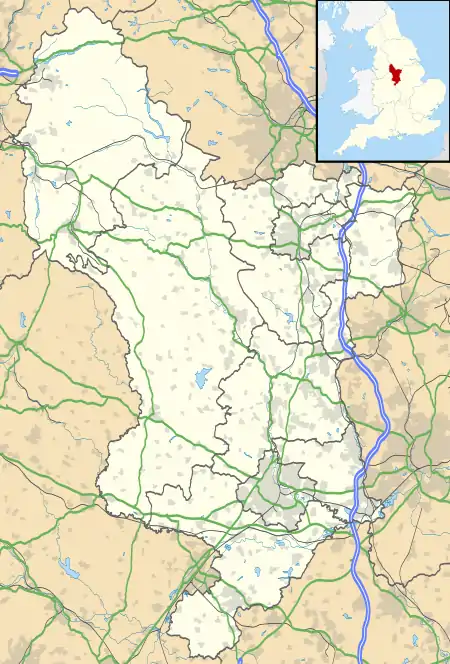 Ible Location within Derbyshire | |
| OS grid reference | SK248571 |
| District | |
| Shire county | |
| Region | |
| Country | England |
| Sovereign state | United Kingdom |
| Post town | MATLOCK |
| Postcode district | DE4 |
| Police | Derbyshire |
| Fire | Derbyshire |
| Ambulance | East Midlands |
It is near the Via Gellia valley, the historic market town of Wirksworth and village of Bonsall, and is on the route of the Limestone Way[1][2] and the Peak District Boundary Walk.[3]
The name of the hamlet is derived from the Old English for "Ibba's Hollow".[4]
References
- OL24 White Peak area (Map). 1:25000. Explorer. Ordnance Survey.
- "The Limestone Way Walker's Guide" (PDF). Visit Peak District. February 2007. Retrieved 16 August 2020.
- McCloy, Andrew (2017). Peak District Boundary Walk: 190 Miles Around the Edge of the National Park. Friends of the Peak District. ISBN 978-1909461536.
- English Place-Name Society database at Nottingham University
This article is issued from Wikipedia. The text is licensed under Creative Commons - Attribution - Sharealike. Additional terms may apply for the media files.
