Ibra Airport
Ibra (ICAO: OOIA) is an airport serving Ibra, a town in the Ash Sharqiyah North Governorate of Oman.
Ibra Airport | |||||||||||
|---|---|---|---|---|---|---|---|---|---|---|---|
| Summary | |||||||||||
| Airport type | Public | ||||||||||
| Serves | Ibra, Oman | ||||||||||
| Elevation AMSL | 1,500 ft / 457 m | ||||||||||
| Coordinates | 22°44′00″N 58°30′50″E | ||||||||||
| Map | |||||||||||
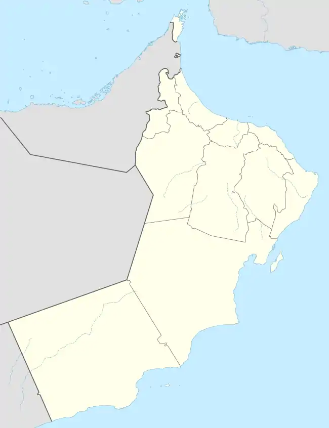 OOIA Location of the airport in Oman | |||||||||||
| Runways | |||||||||||
| |||||||||||
The Izki VOR-DME (Ident: IZK) is located 42.6 nautical miles (79 km) west-northwest of the airport. The Seeb VOR-DME (Ident: MCT) is located 53.4 nautical miles (99 km) north-northwest of the airport.[3][4]
See also
 Oman portal
 Aviation portal
- Transport in Oman
- List of airports in Oman
References
- Google Maps - Ibra
- Airport information for Ibra Airport at Great Circle Mapper.
- "Izki VOR". Our Airports. Retrieved 2 February 2019.
- "Seeb VOR". Our Airports. Retrieved 2 February 2019.
External links
- OurAirports - Ibra Airport
- OpenStreetMap - Ibra
- Accident history for Ibra Airport at Aviation Safety Network
- Google Earth
This article is issued from Wikipedia. The text is licensed under Creative Commons - Attribution - Sharealike. Additional terms may apply for the media files.
