Igarka
Igarka (Russian: Ига́рка) is a town in Turukhansky District of Krasnoyarsk Krai, Russia, located 163 kilometers (101 mi) north of the Arctic Circle. Population: 6,183 (2010 Census);[2] 8,627 (2002 Census);[6] 18,820 (1989 Census);[7] 16,000 (1970).
Igarka
Игарка | |
|---|---|
Town[1] | |
 Igaraka from the Yenesei River | |
 Flag  Coat of arms | |
Location of Igarka 
| |
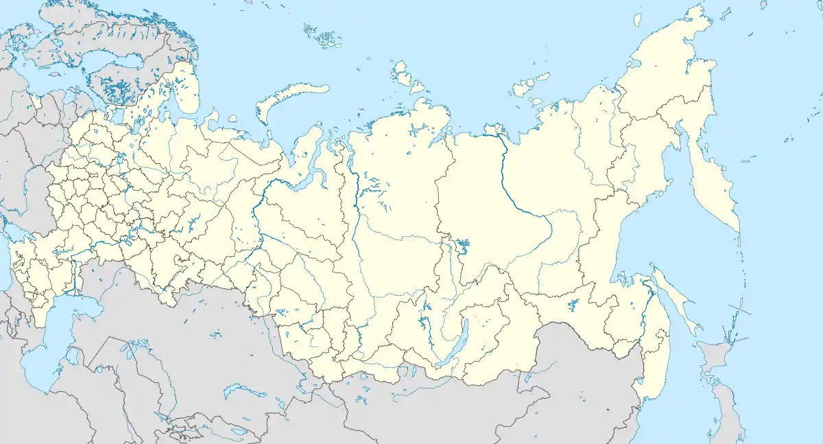 Igarka Location of Igarka 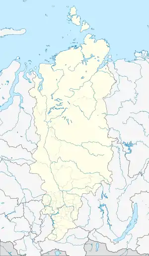 Igarka Igarka (Krasnoyarsk Krai) | |
| Coordinates: 67°28′N 86°35′E | |
| Country | Russia |
| Federal subject | Krasnoyarsk Krai[1] |
| Administrative district | Turukhansky District[1] |
| District town | Igarka[1] |
| Founded | 1929 |
| Town status since | 1931 |
| Elevation | 20 m (70 ft) |
| Population | |
| • Total | 6,183 |
| • Capital of | District town of Igarka[1] |
| • Municipal district | Turukhansky Municipal District[3] |
| • Urban settlement | Igarka Urban Settlement[3] |
| • Capital of | Igarka Urban Settlement[3] |
| Time zone | UTC+7 (MSK+4 |
| Postal code(s)[5] | 663200 |
| OKTMO ID | 04654117001 |
| Website | igarkacity |
History
Igarka was founded in 1929, as a sawmill and a timber-exporting port. It was granted town status in 1931. From 1949 to 1953, the Salekhard–Igarka Railway project made an unsuccessful attempt to connect Igarka to the Russian railway network at Salekhard, claiming the lives of thousands of Gulag prisoners.[8] During the deportations of 1948-1951, thousands of civilians were deported to Igarka from newly occupied territories of USSR. In that period some 5,000-10,000 Lithuanians alone were forcefully moved here from their homeland. About 1,000 of them died there from the cold and poor conditions in the winter of 1948-49.
Demographics
Population: 6,183 (2010 Census);[3] 8,627 (2002 Census);[5] 18,820 (1989 Census);[6] 16,000 (1970).
Before the collapse of the Soviet Union, the town was predominantly made up of Lithuanians, Germans, Russians, Tatars and Poles. When the Soviet Union fell apart many of these peoples moved back to their respective countries, turning the entire area into an entirely Slavic one populated by Russians, Ukrainians and Belarusians.
Administrative and municipal status
Within the framework of administrative divisions, it is incorporated within Turukhansky District as the district town of Igarka.[1] As a municipal division, the district town of Igarka is incorporated within Turukhansky Municipal District as Igarka Urban Settlement.[3]
Transportation
The town is a port on the Yenisei River and is located 673 kilometers (418 mi) away from the river's mouth.
It is served by the Igarka Airport, whose location on an island in the middle of the river makes access difficult when the water is partly thawed: in winter one can drive across, and in summer there is a boat connection, but in between those seasons crossing is difficult.
Culture
The town's main attraction is a curious permafrost museum[9] which has won some pan-European prizes.[10]
References
Notes
- Law #10-4765
- Russian Federal State Statistics Service (2011). "Всероссийская перепись населения 2010 года. Том 1" [2010 All-Russian Population Census, vol. 1]. Всероссийская перепись населения 2010 года [2010 All-Russia Population Census] (in Russian). Federal State Statistics Service.
- Law #13-2925
- "Об исчислении времени". Официальный интернет-портал правовой информации (in Russian). June 3, 2011. Retrieved January 19, 2019.
- Почта России. Информационно-вычислительный центр ОАСУ РПО. (Russian Post). Поиск объектов почтовой связи (Postal Objects Search) (in Russian)
- Russian Federal State Statistics Service (May 21, 2004). "Численность населения России, субъектов Российской Федерации в составе федеральных округов, районов, городских поселений, сельских населённых пунктов – районных центров и сельских населённых пунктов с населением 3 тысячи и более человек" [Population of Russia, Its Federal Districts, Federal Subjects, Districts, Urban Localities, Rural Localities—Administrative Centers, and Rural Localities with Population of Over 3,000] (XLS). Всероссийская перепись населения 2002 года [All-Russia Population Census of 2002] (in Russian).
- "Всесоюзная перепись населения 1989 г. Численность наличного населения союзных и автономных республик, автономных областей и округов, краёв, областей, районов, городских поселений и сёл-райцентров" [All Union Population Census of 1989: Present Population of Union and Autonomous Republics, Autonomous Oblasts and Okrugs, Krais, Oblasts, Districts, Urban Settlements, and Villages Serving as District Administrative Centers]. Всесоюзная перепись населения 1989 года [All-Union Population Census of 1989] (in Russian). Институт демографии Национального исследовательского университета: Высшая школа экономики [Institute of Demography at the National Research University: Higher School of Economics]. 1989 – via Demoscope Weekly.
- Lohse, Peggy (November 26, 2014). "A journey to the northern edge of the world: to Igarka by the Yenisei river". RBTH. Archived from the original on July 12, 2015. Retrieved July 10, 2015.
- "Краеведческий комплекс "Музей вечной мерзлоты"". museum.ru. Retrieved September 17, 2018.
- www.europeanmuseumforum.org Archived August 15, 2007, at the Wayback Machine
Sources
- Законодательное собрание Красноярского края. Закон №10-4765 от 10 июня 2010 г. «О перечне административно-территориальных единиц и территориальных единиц Красноярского края», в ред. Закона №7-3007 от 16 декабря 2014 г. «Об изменении административно-территориального устройства Большеулуйского района и о внесении изменений в Закон края "О перечне административно-территориальных единиц и территориальных единиц Красноярского края"». Вступил в силу 1 июля 2010 г. Опубликован: "Ведомости высших органов государственной власти Красноярского края", №33(404), 5 июля 2010 г. (Legislative Assembly of Krasnoyarsk Krai. Law #10-4765 of June 10, 2010 On the Registry of the Administrative-Territorial Units and the Territorial Units of Krasnoyarsk Krai, as amended by the Law #7-3007 of December 16, 2014 On Changing the Administrative-Territorial Structure of Bolsheuluysky District and on Amending the Krai Law "On the Registry of the Administrative-Territorial Units and the Territorial Units of Krasnoyarsk Krai". Effective as of July 1, 2010.).
- Законодательное собрание Красноярского края. Закон №13-2925 от 28 января 2005 г. «Об установлении границ и наделении соответствующим статусом муниципального образования Туруханский район и находящихся в его границах иных муниципальных образований», в ред. Закона №5-1826 от 21 ноября 2013 г. «О внесении изменений в Законы края об установлении границ и наделении соответствующим статусом муниципальных образований Красноярского края». Вступил в силу через десять дней после официального опубликования. Опубликован: "Ведомости высших органов государственной власти Красноярского края", №5, 7 февраля 2005 г. (Legislative Assembly of Krasnoyarsk Krai. Law #13-2925 of January 28, 2005 On Establishing the Borders and Granting an Appropriate Status to the Municipal Formation of Turukhansky District and to Other Municipal Formations Within Its Borders, as amended by the Law #5-1826 of November 21, 2013 On Amending the Krai Laws on Establishing the Borders and Granting an Appropriate Status to the Municipal Formations of Krasnoyarsk Krai. Effective as of ten days after the official publication.).