Ira, Iowa
Ira (/ˈaɪrə/) is an unincorporated community located in Independence Township, Jasper County, Iowa, United States.[1] The population in 2010 was 29 people.[2]
Ira, Iowa | |
|---|---|
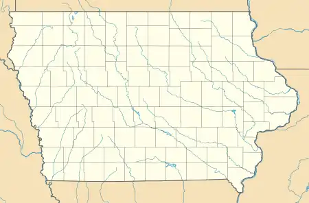 Ira Location within the state of Iowa  Ira Ira (the United States) | |
| Coordinates: 41°46′40″N 93°12′21″W | |
| Country | United States |
| State | Iowa |
| County | Jasper |
| Elevation | 856 ft (261 m) |
| Time zone | UTC-6 (Central (CST)) |
| • Summer (DST) | UTC-5 (CDT) |
| ZIP codes | 50127 |
Education
Colfax–Mingo Community School District operates area public schools.[4] The Colfax and Mingo school districts consolidated on July 1, 1985.[5]
References
- "Map of Independence Township". Kenyon Company. 1914. Retrieved 2020-10-12.
- "Zip Code 50127, Ira, IA". Zip-codes.com. Retrieved 2020-10-12.
- Weaver, James Baird (1912). Past and Present of Jasper County, Iowa, Volume 1. B.F. Bowen. p. 361.
- "COLFAX-MINGO" (PDF). Iowa Department of Education. Retrieved 2020-10-12.
- "REORGANIZATION & DISSOLUTION ACTIONS SINCE 1965-66" (PDF). Iowa Department of Education. Retrieved 2020-10-12.
Municipalities and communities of Jasper County, Iowa, United States | ||
|---|---|---|
| Cities | Map of Iowa highlighting Jasper County | |
| Townships | ||
| Unincorporated communities | ||
| Footnotes | ‡This populated place also has portions in an adjacent county or counties | |
| ||
This article is issued from Wikipedia. The text is licensed under Creative Commons - Attribution - Sharealike. Additional terms may apply for the media files.
