Jacksonboro, South Carolina
Jacksonboro is an unincorporated community and census-designated place located in southeastern Colleton County, South Carolina, United States, along the west side of the Edisto River.[3] Jacksonboro serves as a primary junction along U.S. Highway 17 between Charleston 32 miles (51 km) to the east and Beaufort 41 miles (66 km) to the southwest. Walterboro, the Colleton County seat, is 16 miles (26 km) to the northwest via South Carolina Highway 64. The population of Jacksonboro was 478 as of the 2010 census.[2]
Jacksonboro, South Carolina | |
|---|---|
 | |
 Jacksonboro  Jacksonboro | |
| Coordinates: 32°46′13″N 80°27′16″W | |
| Country | United States |
| State | South Carolina |
| County | Colleton |
| Area | |
| • Total | 14.465 sq mi (37.46 km2) |
| • Land | 14.465 sq mi (37.46 km2) |
| • Water | 0 sq mi (0 km2) |
| Elevation | 23 ft (7 m) |
| Population | |
| • Total | 478 |
| • Density | 33/sq mi (12.8/km2) |
| Time zone | UTC-5 (Eastern (EST)) |
| • Summer (DST) | UTC-4 (EDT) |
| ZIP code | 29446 |
| Area code(s) | 843 and 854 |
| GNIS feature ID | 1246146[3] |
Jacksonboro was founded in the 1730s, and named after John Jackson, the original owner of the town site.[4] The Pon Pon Chapel was listed in the National Register of Historic Places in 1972.[5]
References
- "US Gazetteer files: 2010, 2000, and 1990". United States Census Bureau. 2011-02-12. Archived from the original on 2002-05-27. Retrieved 2011-04-23.
- "Geographic Identifiers: 2010 Census Summary File 1 (G001): Jacksonboro town, South Carolina". U.S. Census Bureau, American Factfinder. Archived from the original on February 13, 2020. Retrieved July 2, 2015.
- "Jacksonboro, South Carolina". Geographic Names Information System. United States Geological Survey.
- Federal Writers' Project (1938). The Ocean Highway: New Brunswick, New Jersey to Jacksonville, Florida. Works Progress Administration. p. 136.
- "National Register Information System". National Register of Historic Places. National Park Service. July 9, 2010.
Municipalities and communities of Colleton County, South Carolina, United States | ||
|---|---|---|
| City | 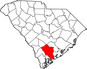 Map of South Carolina highlighting Colleton County | |
| Towns | ||
| CDPs | ||
| Unincorporated communities | ||
| ||
The Lowcountry of South Carolina | ||
|---|---|---|
| Counties | 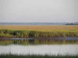 | |
| Major communities | ||
| Sea islands | ||
| History & culture | ||
| Military installations |
| |
| Natural areas | ||
| Other articles | ||
This article is issued from Wikipedia. The text is licensed under Creative Commons - Attribution - Sharealike. Additional terms may apply for the media files.
