Jefferson, Colorado
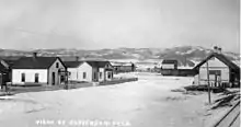
Jefferson is an unincorporated community and a U.S. Post Office in Park County, Colorado, United States. It is located in the northern end of South Park, along U.S. Route 285, approximately 15 miles (24 km) northeast of Fairplay, at the western foot of Kenosha Pass. It lies 6 miles (10 km) from Como, 23 miles (37 km) from Bailey, and 37 miles (60 km) from Breckenridge. The town consists largely of a strip of retail businesses along U.S. Route 285, as well as a small unpaved grid of houses and trailers on the south side of the highway. The most notable landmarks in town are a historic one-room schoolhouse and the Historic Jefferson Denver, South Park and Pacific Railroad (DSP&P RR)Depot (c. 1880), highly visible in the surrounding grasslands of South Park. The Jefferson Post Office has the ZIP Code 80456.[2]
Jefferson, Colorado | |
|---|---|
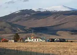 The town of Jefferson, showing one-room school house, seen looking eastward from U.S. Highway 285 | |
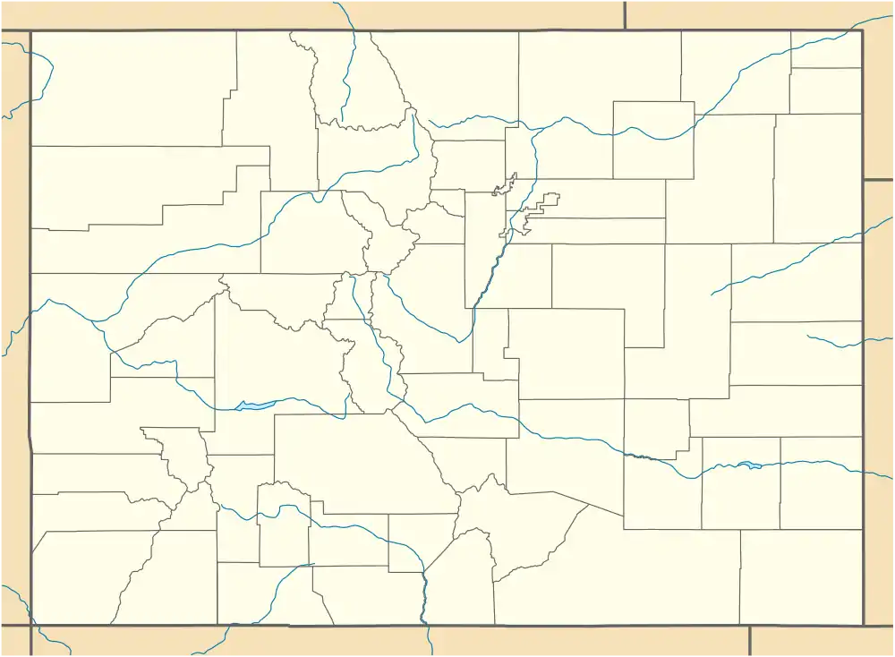 Jefferson, Colorado Location within the state of Colorado | |
| Coordinates: 39°22′39″N 105°48′02″W | |
| Country | |
| State | |
| County | Park[1] |
| Elevation | 9,501 ft (2,896 m) |
| Time zone | UTC-7 (MST) |
| • Summer (DST) | UTC-6 (MDT) |
| ZIP code[2] | 80456 |
| GNIS feature ID | 0204725 |
Geography
Jefferson is located at 39°22.6′N 105°48.0′W (39.568,-105.801).
Notable people
- Benjamin Ratcliff
References
- "US Board on Geographic Names". United States Geological Survey. 2007-10-25. Retrieved 2008-01-31.
- "ZIP Code Lookup". United States Postal Service. December 28, 2006. Archived from the original (JavaScript/HTML) on November 23, 2010. Retrieved December 28, 2006.
Municipalities and communities of Park County, Colorado, United States | ||
|---|---|---|
| Towns | 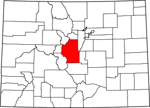 Map of Colorado highlighting Park County | |
| CDPs | ||
| Unincorporated communities | ||
| Ghost towns | ||
| ||
