Trump, Colorado
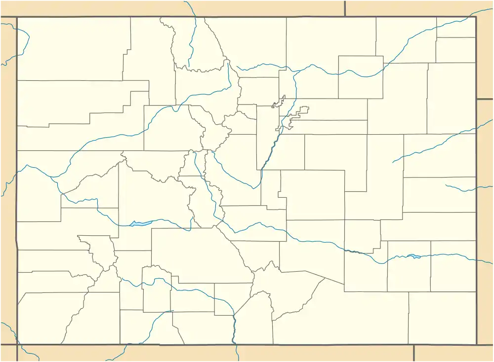
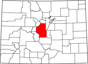
Trump is a ghost town in Park County, Colorado, United States.[1]
Trump, Colorado | |
|---|---|
 Trump, Colorado  Trump, Colorado | |
| Coordinates: 38°50′57″N 105°47′18″W | |
| Country | United States |
| State | State of Colorado |
| County | Park County |
| Elevation | 9,436 ft (2,876 m) |
| Time zone | UTC-7 (MST) |
| • Summer (DST) | UTC-6 (MDT) |
| GNIS feature ID | 191366[1] |
History
Trump was an agricultural and ranching settlement which prospered for a short time during the 1920s and early 1930s.[2][3]
Trump had a store, and a post office which served neighboring ranches. Trump also hosted rodeo competitions between local ranch hands.[2][3]
The population of Trump had declined to three people by 1936.[3]
In 1937, a unique sandstone was identified in the vicinity by J. H. Johnson, and was named "Trump conglomerate" after the nearby settlement.[4][5]
References
- U.S. Geological Survey Geographic Names Information System: Trump
- Park County Local History Archives (2015). Park County. Arcadia. pp. 69, 120. ISBN 9781467132459.
- McConnell Simmons, Virginia (2011). Bayou Salado. University Press of Colorado. ISBN 9781457109447.
- Keroher, Grace C. (1966). Lexicon of Geologic Names of the United States for 1936-1960, Part 3. U.S. Government Printing Office. p. 3966.
- Barkmann, Peter E.; Sterne, Edward J.; Dechesne, Marieke; Houck, Karen J. (2016). Keller, Stephen M.; Morgan, Matthew L. (eds.). South Park, Colorado: The Interplay Of Tectonics And Sedimentation Creates One Of Colorado's Crown Jewels. Unfolding The Geology Of The West. Geological Society of America. p. 162. ISBN 9780813700441.
This article is issued from Wikipedia. The text is licensed under Creative Commons - Attribution - Sharealike. Additional terms may apply for the media files.

