Kūh-Zibad
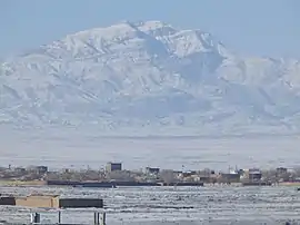
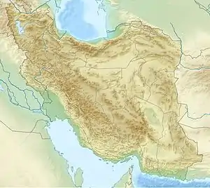
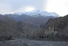
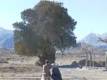
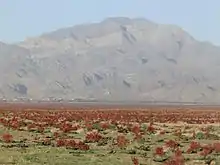
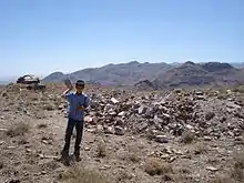
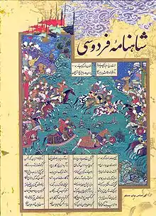
Kūh-Zibad (persian: کوه زیبد) its peak also called Tir Mahi[1] is a mountain in the province of Razavi Khorasan, city of Gonabad District Zibad in the eastern part of the country, 700 km east of the capital Tehran. The Peak of the Moantain is called Qole -e Tir Mahi is 2,557 metres (8,389 ft) above sea level, or 431 m (1,414 ft) above the surrounding terrain . The width at the base is 5.5 km. The terrain around the Qole-e Tir Mahi and Kuh-e zibad is mainly hilly. The highest point in the vicinity is 2775 meters above sea level, 17.7 km southeast of Qole-e Tir mahi. Around Kuh-e Zibad is very sparsely populated, with 5 inhabitants per square kilometer. Nearest society zibad, 8.5 km north of Kuh-e Zibad. The neighborhood around Kuh-e Zibad is barren with little or vegetation. In the neighborhood around the Kuh-e Zibad are unusually many named mountains and valleys. A cold steppe climate prevailing in the region. The average annual temperature in the area is 17 °C. The warmest month is July when the average temperature is 30 °C, and the coldest is January, with 1 °C. Average annual rainfall is 211 mm (8 in). The rainiest month is February, with an average of 58 mm (2 in) of precipitation, and the driest is July, with 1 mm of precipitation. This mountain had been referred in some historical book such as shahnameh in Davazdah Rokhwar as the Zibad mountain and its eastern part is called black mountain or kuh Gonabad. the long range mountain called Qohestan and It extends from Bajestan to Birjand near the border with Afghanistan this rang mountain separate south khorasan from Razavi Khorasan,part of this rang mountain near Kakhk is called black mountain or kuh e gonabad
| Kūh-e Tīr Māhī | ||||||||||||||||||||||||||||||||||||||||||||||||||||||||||||
|---|---|---|---|---|---|---|---|---|---|---|---|---|---|---|---|---|---|---|---|---|---|---|---|---|---|---|---|---|---|---|---|---|---|---|---|---|---|---|---|---|---|---|---|---|---|---|---|---|---|---|---|---|---|---|---|---|---|---|---|---|
| Climate chart (explanation) | ||||||||||||||||||||||||||||||||||||||||||||||||||||||||||||
| ||||||||||||||||||||||||||||||||||||||||||||||||||||||||||||
| ||||||||||||||||||||||||||||||||||||||||||||||||||||||||||||
| Kūh-e Zibad. Peak Tīr Māhī | |
|---|---|
| Zeebad | |
 | |
| Highest point | |
| Elevation | 2,126 m (6,975 ft) |
| Prominence | 2,557 m (8,389 ft) |
| Coordinates | 34.23963°N 58.41917°E |
| Naming | |
| Etymology | Tir has many meaning :arrow ,bar,shot and also the persian month for July |
| Native name | قله تیر ماهی.کوه زیبد |
| Pronunciation | Zeebad |
| Geography | |
 Kūh-e Zibad. Peak Tīr Māhī Location in Gonabad, Kakhk District Iran | |
| Location | Razavi Khorasan, Iran |
See also
Sources
Article in Persian language. Parssea magazine,2011
- Geography and tribe and minority in khorasan,Mohammad Ajam, research published 1992, university of Imam Sadegh,Tehran.
References
- Kūh-e Tīr Māhī hos Geonames.org (cc-by); post uppdaterad 2012-04-06; databasdump nerladdad 2016-08-15
- "NASA Earth Observations Data Set Index". NASA. Retrieved 2017-01-30.
| Characters |
|  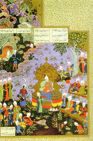 .png.webp) | ||||||||||||||
|---|---|---|---|---|---|---|---|---|---|---|---|---|---|---|---|---|
| Creatures and animals |
| |||||||||||||||
| Places | ||||||||||||||||
| Structures |
| |||||||||||||||
| Manuscripts |
| |||||||||||||||
| See also | ||||||||||||||||
| ||||||||||||||||
| Capital | 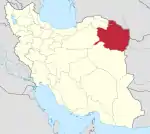 | ||||||||||||||||||||||||||||||||||||||||||||||||||||||||||||||||
|---|---|---|---|---|---|---|---|---|---|---|---|---|---|---|---|---|---|---|---|---|---|---|---|---|---|---|---|---|---|---|---|---|---|---|---|---|---|---|---|---|---|---|---|---|---|---|---|---|---|---|---|---|---|---|---|---|---|---|---|---|---|---|---|---|---|
| Counties and cities |
| ||||||||||||||||||||||||||||||||||||||||||||||||||||||||||||||||
| Landmarks |
| ||||||||||||||||||||||||||||||||||||||||||||||||||||||||||||||||
| General | |||||||||||||||||||||||||||||||||||||||||||||||||||||||||||||||||
Gallery
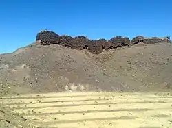
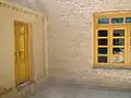
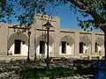
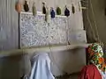
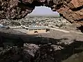 Zibad Castle زیبد
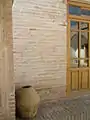
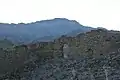 Zibad Castle قلعه زیبد
- Zibad Rheum
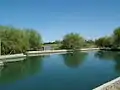
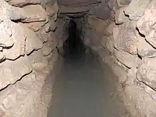 Kariz Zebad
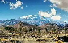 zibad Mountain
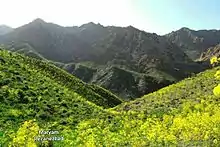 Ferula Zibad
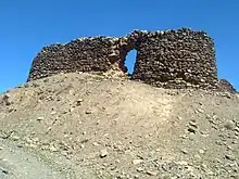 Sassanian Castel
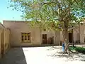
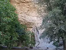 Soufe Zibad
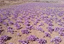
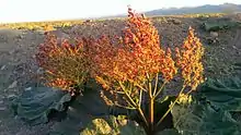 Rivas zibad
- Kūh-ZibadZibad Gonabad
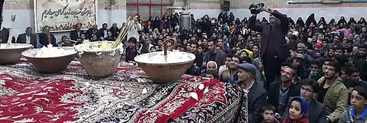 A photograph of Yaldā Night.
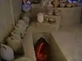
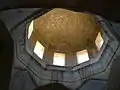
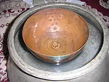 Ancient water clock used in qanat of gonabad 2500 years ago
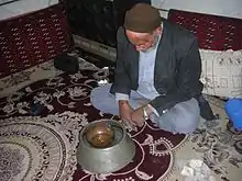 Reconstruction of the scene with a real manager of the water clock, Iran
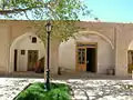


| Capital | |||||||||||||||||||||
|---|---|---|---|---|---|---|---|---|---|---|---|---|---|---|---|---|---|---|---|---|---|
| Districts |
| ||||||||||||||||||||
| Characters |
| | ||||||||||||||
|---|---|---|---|---|---|---|---|---|---|---|---|---|---|---|---|---|
| Creatures and animals |
| |||||||||||||||
| Places | ||||||||||||||||
| Structures |
| |||||||||||||||
| Manuscripts |
| |||||||||||||||
| See also | ||||||||||||||||
| ||||||||||||||||