Kadota, California
Kadota is an unincorporated community in Merced County, California, USA.[1] It is located on the Atchison, Topeka and Santa Fe Railroad 4 miles (6.4 km) east of Merced,[2] at an elevation of 194 feet (59 m).[1]
Kadota | |
|---|---|
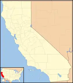 Kadota Location in California  Kadota Kadota (the United States) | |
| Coordinates: 37°17′42″N 120°24′44″W | |
| Country | United States |
| State | California |
| County | Merced County |
| Elevation | 194 ft (59 m) |
References
- U.S. Geological Survey Geographic Names Information System: Kadota, California
- Durham, David L. (1998). California's Geographic Names: A Gazetteer of Historic and Modern Names of the State. Clovis, Calif.: Word Dancer Press. p. 789. ISBN 1-884995-14-4.
Municipalities and communities of Merced County, California, United States | ||
|---|---|---|
| Cities | 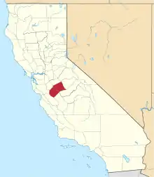 Merced County map | |
| CDPs | ||
| Unincorporated communities | ||
| Ghost towns | ||
| ||
This article is issued from Wikipedia. The text is licensed under Creative Commons - Attribution - Sharealike. Additional terms may apply for the media files.