Kafr Dunin
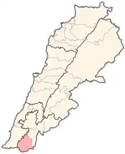
Kfar Dunin (Arabic: كفردونين)[1] is a village in Lebanon, 102 km from the capital Beirut and 580 m from sea coast remote. Adjacent villages: Deir Kifa, Alkaline, Khirbat Silm, Der Ntar. It is considered first of villages in Bent Jbeil district of Nabatieh Governorate. Its population is 6000 people.
Kfar Dunin
كفردونين | |
|---|---|
Village | |
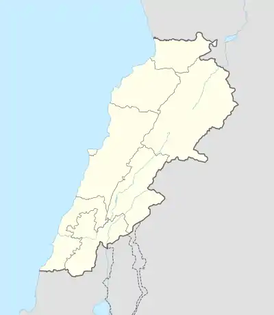
 Kfar Dunin Location within Lebanon | |
| Coordinates: 33°14′N 35°24′E | |
| Grid position | 187/293 PAL |
| Country | |
| Governorate | Nabatieh Governorate |
| District | Bint Jbeil District |
| Elevation | 580 m (1,900 ft) |
| Time zone | UTC+2 (EET) |
| • Summer (DST) | UTC+3 (EEST) |
| Website | http://www.kfardounine.org/ |
History
In 1875 Victor Guérin noted: "Near a little mosque are well-cut stones, the remains of a demolished church, of which there also survive fragments of monolithic columns and several broken capitals, strewing the soil in several places, and especially near the Sheikh's house.'[2] He estimated that the village had 350 to 400 Metawileh inhabitants.[3]
In 1881, the PEF's Survey of Western Palestine (SWP) described it as: "A village, built of stone, containing about 150 Metawileh, on a hill, surrounded by figs, olives, and arable land. The water is obtained from a spring near and cisterns in the village."[4]
References
Bibliography
- Conder, C.R.; Kitchener, H.H. (1881). The Survey of Western Palestine: Memoirs of the Topography, Orography, Hydrography, and Archaeology. 1. London: Committee of the Palestine Exploration Fund. (p. 96)
- Guérin, V. (1880). Description Géographique Historique et Archéologique de la Palestine (in French). 3: Galilee, pt. 2. Paris: L'Imprimerie Nationale.
- Palmer, E.H. (1881). The Survey of Western Palestine: Arabic and English Name Lists Collected During the Survey by Lieutenants Conder and Kitchener, R. E. Transliterated and Explained by E.H. Palmer. Committee of the Palestine Exploration Fund.
External links
- Survey of Western Palestine, Map 2: IAA, Wikimedia commons
- Kfar Dounine, Localiban

