Kamdini
Kamdini, also referred to as Kamdini Corder, is a town in the Northern Region of Uganda.
Kamdini
Kamdini Corner | |
|---|---|
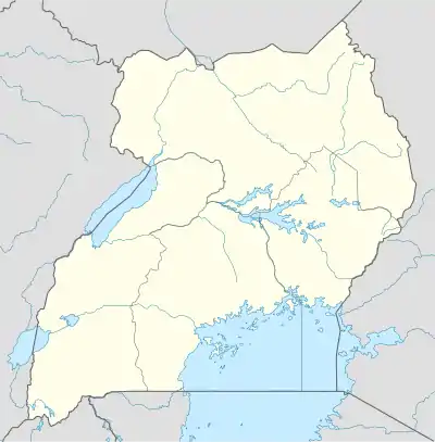
 Kamdini Location in Uganda | |
| Coordinates: 02°14′47″N 32°19′52″E | |
| Country | |
| Region | Northern Uganda |
| Sub-region | Lango sub-region |
| District | Oyam District |
| Elevation | 3,468 ft (1,057 m) |
| Population (2012 Estimate) | |
| • Total | 5,000[1] |
Location
Kamdini is in the Oyam District of the Lango sub-region. The town is approximately 21.5 kilometres (13.4 mi), by road, west of Oyam, where the district headquarters are located.[2] This is approximately 68 kilometres (42 mi), by road, west of Lira, the nearest large city.[3] The coordinates of the town are 2°14'47.0"N, 32°19'52.0"E (Latitude:2.246402; Longitude: 32.331120).[4]
Overview
Kamdini lies at the junction of three major roads in Uganda. The Kiryandongo-Kamdini Road, the Gulu–Kamdini Road, and the Lira-Kamdini Road, with all meeting in the center of town.[1] The average elevation of the town is approximately 1,057 metres (3,468 ft) above sea level.[5]
See also
References
- Joe Elunya Ssalongo (16 August 2012). "5000 Residents Share 2 Pit-latrines At Corner Kamdini". Kampala: Uganda Radio Network. Retrieved 4 January 2016.
- GFC (4 January 2016). "Distance between Kamdini, Northern Region, Uganda and Oyam, Northern Region, Uganda". Globefeed.com (GFC). Retrieved 4 January 2016.
- GFC (1 January 2016). "Distance between Kamdini, Northern Region, Uganda and Lira, Northern Region, Uganda". Globefeed.com (GFC). Retrieved 4 January 2016.
- Google (1 January 2016). "Location of Kamdini At Google Maps" (Map). Google Maps. Google. Retrieved 1 January 2016.
- EMN (4 January 2016). "Elevation of Kamdini, Uganda". Elevationmap.net (EMN). Retrieved 4 January 2016.
External links
This article is issued from Wikipedia. The text is licensed under Creative Commons - Attribution - Sharealike. Additional terms may apply for the media files.

