Karesuando
Karesuando (Swedish: [ˈkǎrːɛsʉandɔ];[3] Finnish: Kaaresuvanto or Karesuvanto; Sami: Karesuanto, Gárasavvon or Karasavvon) is the northernmost locality in Sweden. It is situated in Kiruna Municipality, Norrbotten County, Sweden, with 303 inhabitants in 2010[1] and 350 in 2011.[2]
Karesuando | |
|---|---|
 Karesuando Church in August 2005 | |
 Karesuando 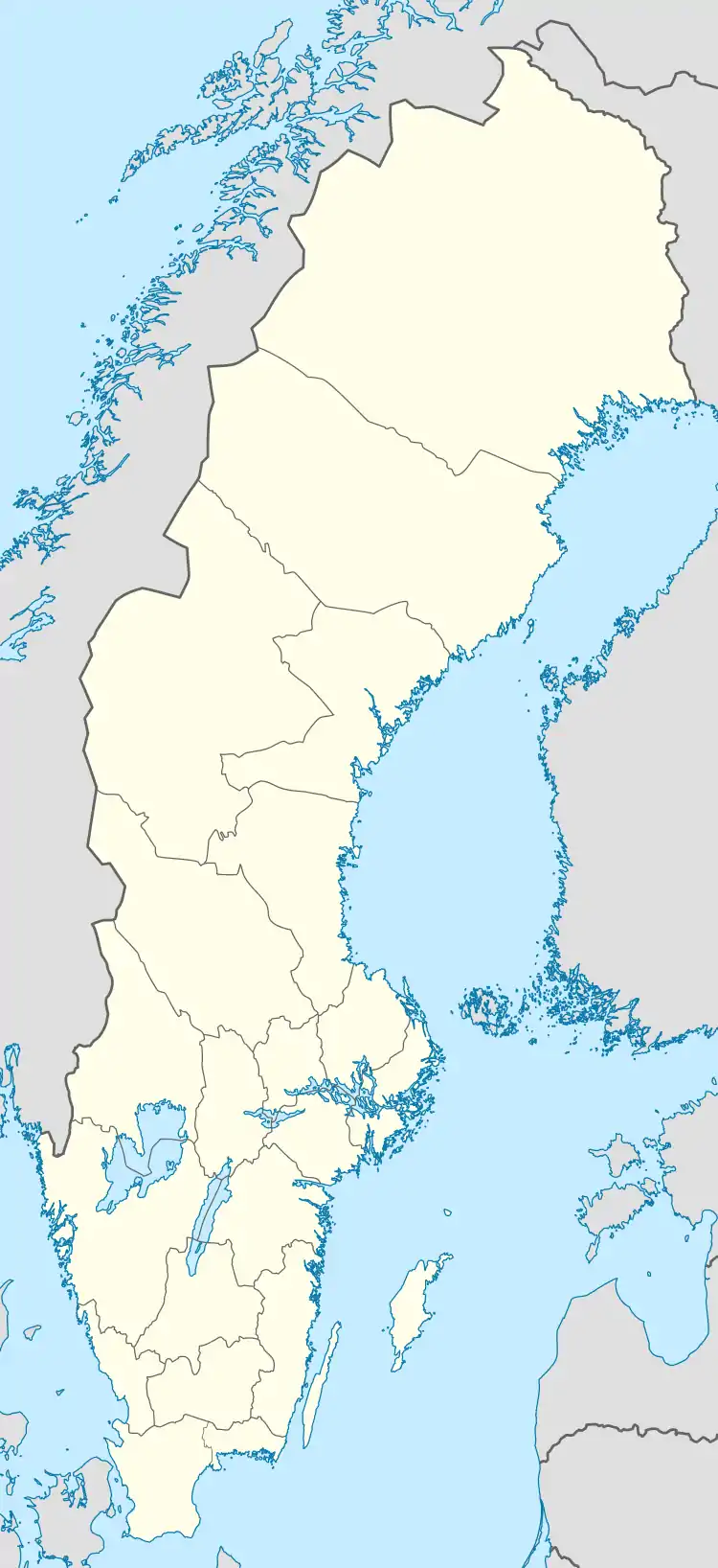 Karesuando | |
| Coordinates: 68°26′28″N 022°28′44″E | |
| Country | Sweden |
| Province | Lapland |
| County | Norrbotten County |
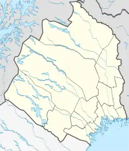
| Municipality | Kiruna Municipality |
| Area | |
| • Total | 0.93 km2 (0.36 sq mi) |
| Population (31 December 2010)[2] | |
| • Total | 300 |
| • Density | 324/km2 (840/sq mi) |
| Time zone | UTC+1 (CET) |
| • Summer (DST) | UTC+2 (CEST) |
It is a church village, located alongside the Muonio River on the border with Finland.
The Finnish village of Karesuvanto (population about 140) is located on the Finnish side of the river. According to Finnish tradition, they are one and the same village (with a combined population of about 470), but are usually considered to be separate villages since there is a national border between them (although both are called Karesuvanto in Finnish).
The village's buildings were built in 1670, when Måns Mårtensson Karesuando, called "Hyvä Maunu Martinpoika" in Finnish and "Good Maunu, Son of Martin" in English, bought land from Sami Henrik Nilsson Nikkas. The Lutheran vicar and botanist Lars Levi Laestadius served in Karesuando from 1826 to 1849. It was here that he founded the revivalist movement known to this day as Laestadianism.
The area is traditionally Finnish speaking, and the border was drawn for political reasons in 1809, not because of any cultural or any other border existing at that time. There was not even a parish border, so Karesuando Church was built because the older church was on the Finnish side. School and church influences have since resulted in cultural and linguistic differences.
Karesuando is located along the European route E45, and is the northern terminus of Swedish national road 99.
Climate
Karesuando has a continental type of a subarctic climate (Köppen Dfc) with short and cool summers and long, cold and sometimes very cold winters. Snowfall varies from year to year, but is often quite moderate due to dry polar air. Still, accumulation in spring is usually quite high since the snow cover does not thaw at all during winter due to the cold averages. The warmest temperature of the month usually goes above freezing in winter, but for very brief spells.
Summers on the other hand, see quite a bit of rainfall. With Karesuando being quite far inland, it is prone both to sizeable warmth for short spells and temperatures either approaching or below −40 °C (−40 °F). In spite of this cold, however, Karesuando sees some moderation from the North Atlantic Current passing by Scandinavia's western shore near land on those latitudes, which results in winter temperatures being less severe than some climates on latitudes way further south. Due to its high latitude, Karesuando experiences midnight sun and polar night. The UV index in summer is low due to the high latitude.
| Climate data for Karesuando (2002–2018; sunshine for Kiruna 1961–1990; extremes since 1901) | |||||||||||||
|---|---|---|---|---|---|---|---|---|---|---|---|---|---|
| Month | Jan | Feb | Mar | Apr | May | Jun | Jul | Aug | Sep | Oct | Nov | Dec | Year |
| Record high °C (°F) | 7.2 (45.0) |
6.2 (43.2) |
10.5 (50.9) |
15.5 (59.9) |
28.2 (82.8) |
32.2 (90.0) |
32.5 (90.5) |
29.1 (84.4) |
24.0 (75.2) |
16.0 (60.8) |
9.0 (48.2) |
6.5 (43.7) |
32.5 (90.5) |
| Mean maximum °C (°F) | 1.5 (34.7) |
2.3 (36.1) |
4.5 (40.1) |
9.6 (49.3) |
20.7 (69.3) |
24.3 (75.7) |
25.5 (77.9) |
24.2 (75.6) |
18.3 (64.9) |
9.8 (49.6) |
3.4 (38.1) |
2.6 (36.7) |
27.0 (80.6) |
| Average high °C (°F) | −9.9 (14.2) |
−8.4 (16.9) |
−3.0 (26.6) |
2.9 (37.2) |
9.6 (49.3) |
15.2 (59.4) |
19.4 (66.9) |
16.5 (61.7) |
10.7 (51.3) |
2.4 (36.3) |
−3.9 (25.0) |
−6.8 (19.8) |
3.7 (38.7) |
| Daily mean °C (°F) | −14.8 (5.4) |
−13.3 (8.1) |
−8.3 (17.1) |
−1.8 (28.8) |
5.0 (41.0) |
10.4 (50.7) |
14.4 (57.9) |
11.7 (53.1) |
6.6 (43.9) |
−0.9 (30.4) |
−7.8 (18.0) |
−11.4 (11.5) |
−0.9 (30.5) |
| Average low °C (°F) | −19.6 (−3.3) |
−18.1 (−0.6) |
−13.6 (7.5) |
−6.5 (20.3) |
0.3 (32.5) |
5.6 (42.1) |
9.3 (48.7) |
6.8 (44.2) |
2.5 (36.5) |
−4.1 (24.6) |
−11.7 (10.9) |
−16.0 (3.2) |
−5.4 (22.2) |
| Mean minimum °C (°F) | −35.3 (−31.5) |
−34.6 (−30.3) |
−29.3 (−20.7) |
−19.8 (−3.6) |
−6.9 (19.6) |
−0.5 (31.1) |
2.9 (37.2) |
−0.7 (30.7) |
−5.0 (23.0) |
−16.3 (2.7) |
−27.0 (−16.6) |
−31.2 (−24.2) |
−38.1 (−36.6) |
| Record low °C (°F) | −49.0 (−56.2) |
−48.1 (−54.6) |
−42.8 (−45.0) |
−36.5 (−33.7) |
−22.0 (−7.6) |
−4.0 (24.8) |
−1.0 (30.2) |
−4.6 (23.7) |
−12.0 (10.4) |
−28.6 (−19.5) |
−38.0 (−36.4) |
−42.0 (−43.6) |
−49.0 (−56.2) |
| Average precipitation mm (inches) | 29.1 (1.15) |
23.5 (0.93) |
15.9 (0.63) |
19.5 (0.77) |
38.0 (1.50) |
64.3 (2.53) |
83.8 (3.30) |
65.0 (2.56) |
45.6 (1.80) |
34.6 (1.36) |
32.4 (1.28) |
33.1 (1.30) |
484.8 (19.11) |
| Mean monthly sunshine hours | 5 | 62 | 139 | 183 | 232 | 266 | 243 | 159 | 110 | 67 | 18 | 0 | 1,484 |
| Source 1: [4] | |||||||||||||
| Source 2: [5] | |||||||||||||
References
- "Tätorternas landareal, folkmängd och invånare per km2 2005 och 2010" (in Swedish). Statistics Sweden. 14 December 2011. Archived from the original on 10 January 2012. Retrieved 10 January 2012.
- "Befolkningstabell" (in Swedish). Karesuando. 31 December 2011. Retrieved 1 April 2013.
- Jöran Sahlgren; Gösta Bergman (1979). Svenska ortnamn med uttalsuppgifter (in Swedish). p. 13.
- "Karesuando". NOAA.
- "SMHI Open Data" (in Swedish). Swedish Meteorological and Hydrological Institute. Retrieved 25 April 2019.
External links
| Wikivoyage has a travel guide for Karesuando. |
 Media related to Karesuando at Wikimedia Commons