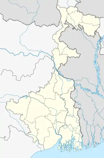
Kasba, Bardhaman
Kasba is a village in Galsi I CD block in Bardhaman Sadar North subdivision of Purba Bardhaman district in the Indian state of West Bengal
Kasba | |
|---|---|
Village | |
 Kasba Location in West Bengal, India  Kasba Kasba (India) | |
| Coordinates: 23.3513°N 87.5167°E | |
| Country | |
| State | West Bengal |
| District | Purba Bardhaman |
| Population (2011) | |
| • Total | 2,119 |
| Languages | |
| • Official | Bengali, English |
| Time zone | UTC+5:30 (IST) |
| Lok Sabha constituency | Bardhaman-Durgapur |
| Vidhan Sabha constituency | Galsi |
| Website | purbabardhaman |
History
Champaknagari, of Chand Sadagar and Manasamangal Kāvya fame, is believed to be located nearby. There are two mounds there – locals believe one to be Behula’s basarghar and the other to be Santali pahar. Both the mounds are believed to have association with Chand Sadagar.[1]
Geography
The place is on the bank of Damodar River.[1]
Demographics
As per the 2011 Census of India, Kasba had a total population of 2,119 of which 1,080 (51%) were males and 1,039 (49%) were females. Population below 6 years was 247. The total number of literates in Kasba was 1,088 (58.12% of the population over 6 years).[2]
Transport
It is about 14 km from Panagarh Railway station/NH 19 and 14 km from Budbud NH 19. It is known for its Shiv mandir to people from religious belief.
Education
Kasba Radharani Vidyamandir is a Bengali-medium, coeducational higher secondary school. It was established in 1968.[3]
References
- Chattopadhyay, Akkori, Bardhaman Jelar Itihas O Lok Sanskriti (History and Folk lore of Bardhaman District.), (in Bengali), Vol II, page 579, Radical Impression. ISBN 81-85459-36-3
- "C.D. Block Wise Primary Census Abstract Data(PCA)". 2011 census: West Bengal – District-wise CD Blocks. Registrar General and Census Commissioner, India. Retrieved 21 February 2019.
- "Kasba RRV High School Galsi I". Schools world. Retrieved 21 February 2019.