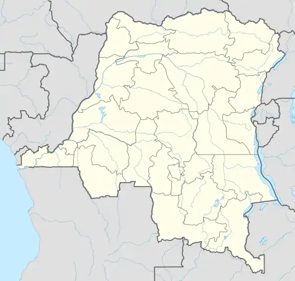
Kasongo
Kasongo, also known as Piani Kasongo, is a town and Territory, located in Maniema Province of the eastern Democratic Republic of the Congo.
Kasongo Territory | |
|---|---|
 Kasongo Territory | |
| Coordinates: 4°27′S 26°39′E | |
| Country | |
| Province | Maniema |
| Elevation | 665 m (2,182 ft) |
| Population | |
| • Total | 63,000 |
| National language | Kiswahili |
Geography
Kasongo lies east of the Lualaba River, northwest of its confluence with the Luama River, at an altitude of 2188 ft (666 m).[1] Kasongos population is approximately 63,000.[2]
The town is served by Kasongo Airport. Kasongo is connected to the provincial capital Kindu by the 150 mile 'Kasongo Road', however the journey takes two days due to the road's poor state.[3]
Kasongo is part of the Roman Catholic Diocese of Kasongo
History
A trading post was established at Kasongo in 1875 by Tippu Tip, an Afro-Arab trader.[4] The town was visited by Henry Morton Stanley sometime between 1879 and 1884, on his third expedition.[4]
The territory was at the centre of the 1892-1894 war in the Eastern Congo and the Batetela Revolt in 1898. A century later, Kasongo and its inhabitants were severely affected by the Second Congo War (1998-2003), and the CARE and Concern Worldwide NGO's are active in the area.[3]
See also
References
- National Geographic Atlas of the World: Revised Sixth Edition, National Geographic Society, 1992
- world-gazetteer.com Archived 2011-05-22 at the Wayback Machine
- Congo rising from chaos, isolation - The Boston Globe. Boston.com (2005-07-10). Retrieved on 2017-05-22.
- "Archived copy". Archived from the original on 2011-07-06. Retrieved 2009-02-15.CS1 maint: archived copy as title (link)