Kawésqar National Park
Kawésqar National Park (Spanish: Parque nacional Kawésqar), formerly Alacalufes National Reserve, is located between Canal Concepción and the open Pacific Ocean, on both sides of Strait of Magellan in Chile. It is composed of western archipelagos; its landscape is filled with low mountain-like islands and islets and many channels and fjords. It was created in 1969 with an area of 2,313,875 hectares (5,717,710 acres).[2]
| Kawésqar National Park | |
|---|---|
| Alacalufes National Reserve | |
IUCN category IV (habitat/species management area) | |
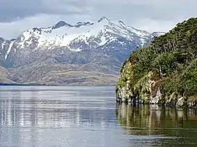 Seno Ballenas | |
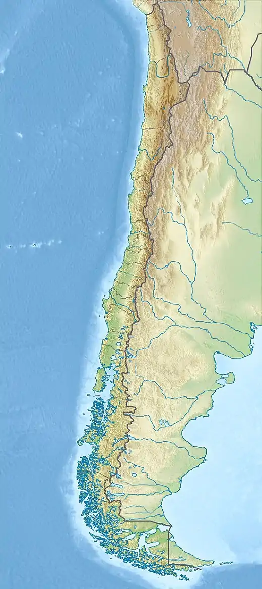 Map of Chile | |
| Location | from Canal Concepción to Chilean Sea through Strait of Magellan, Chile |
| Coordinates | 51°51′S 74°19′W (barycenter)[1] |
| Area | 2,313,875 ha (5,717,710 acres)[2] |
| Established | July 22, 1969[3] |
| Visitors | 1,742[4] (in 2016) |
| Governing body | Corporación Nacional Forestal |
There are two types of weather within the reserve: "high humidity, mild cold" and, "Isothermal tundra", with a mean temperature of 7.2 °C (45.0 °F) and 6.5 °C (43.7 °F), respectively. Rainfall can reach up to 2,450 mm (96 in) per year.
Vegetation is made up of coastal grasslands and thickets, formations of Coihue and Sphagnum; while fauna is composed of several birds and mammals.
Its area covers parts of two out of the four provinces of Magallanes and Chilean Antártica Region: Magallanes Province and Última Esperanza Province.
Notes
- "Alacalufes National Reserve". protectedplanet.net.
- "National Parks of Chile". CONAF. Retrieved 2 April 2017.
- "Alacalufes National Reserve". CONAF. Retrieved 2 April 2017.
- "Visitor Statistics" (PDF). National Forest Corporation (Chile). 31 January 2017. p. 3. Retrieved 2 April 2017.
References
- "Capítulo IV: El Uso de los Recursos Naturales en el Desarrollo de la Region, El Magallanes de antaño" (PDF) (in Spanish). Comisión Nacional de Medio Ambiente (CONAMA). Archived from the original (PDF) on 24 August 2009. Retrieved 2 April 2017.
