Kelang
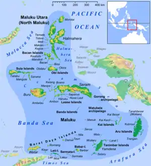
Kelang Island is an island in West Seram Regency, Maluku Province, Indonesia. It is a mountainous island located off the western tip of Seram Island, just east of Manipa. Kampung Sole, located on the northeastern side, is the largest village. Tono, the highest point in the island, is an old volcano.
 | |
| Geography | |
|---|---|
| Location | South East Asia |
| Archipelago | Maluku Islands |
| Highest elevation | 828 m (2717 ft) |
| Highest point | Tonu |
| Administration | |
Babi Island is a 6 km long island located between Kelang and Seram. It is a relatively low island close off Kelang's northeastern side, separated from Kelang and Seram by narrow straits.[1]
The inhabitants of Kelang speak the Luhu language, as well as Indonesian and Ambonese Malay.[2]
References
- Pub164, 2004 Sailing Directions (Enroute): New Guinea
- "Ethnologue 15 report for Indonesia (Maluku)". Archived from the original on 2016-03-04. Retrieved 2013-05-14.
This article is issued from Wikipedia. The text is licensed under Creative Commons - Attribution - Sharealike. Additional terms may apply for the media files.