Kendalia, Texas
Kendalia is an unincorporated community in northeastern Kendall County, Texas, United States.
Kendalia, Texas | |
|---|---|
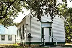 The historic Kendalia Community Church | |
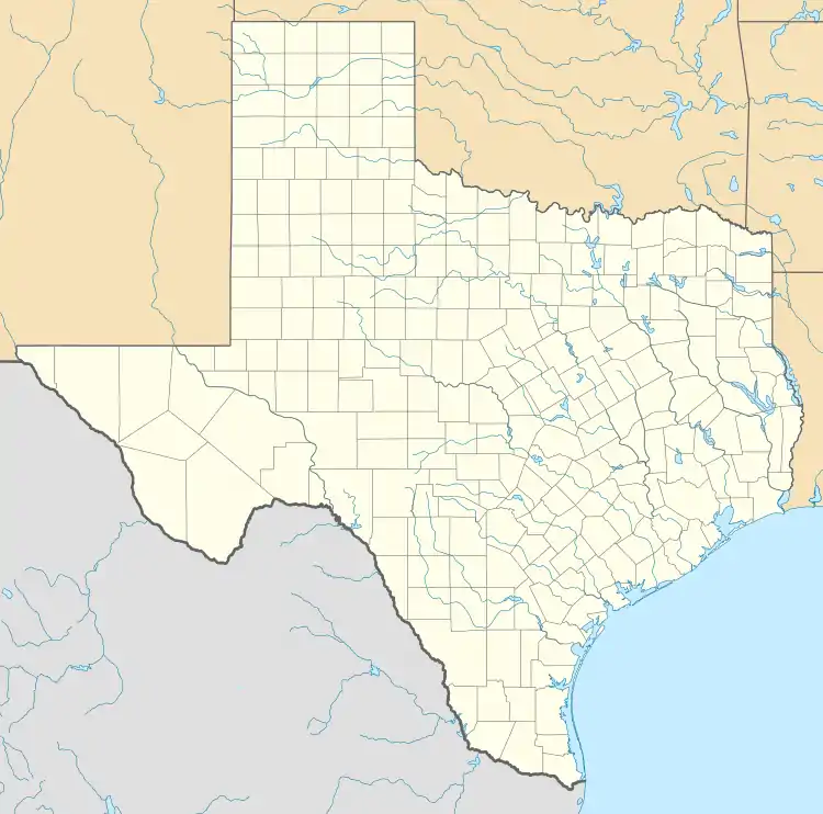 Kendalia Location in Texas and the United States  Kendalia Kendalia (the United States) | |
| Coordinates: 29°58′9″N 98°31′20″W | |
| Country | United States |
| State | Texas |
| County | Kendall |
| Elevation | 1,384 ft (422 m) |
| Time zone | UTC-6 (Central (CST)) |
| • Summer (DST) | UTC-5 (CDT) |
| ZIP codes | 78027 |
| GNIS feature ID | 1339027[1] |
Geography
Kendalia lies at the intersection of RM 473 and FM 3351 northeast of the city of Boerne, the county seat of Kendall County.[2] Its elevation is 1,384 feet (422 m).[3] Although Kendalia is unincorporated, it has a post office, with the ZIP code of 78027;[4] the ZCTA for ZIP Code 78027 had a population of 459 at the 2010 census.[5] The community is part of the San Antonio Metropolitan Statistical Area.
History
Likely named for early nearby settler George Wilkins Kendall, the community was surveyed in 1883, although a post office was not established until 1895. The local economy has long been dependent primarily on ranching, although many residents today work in cities such as Blanco or San Antonio.[6]
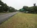 Kendalia sign on Ranch Road 473 looking south
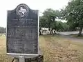 George Wilkins Kendall state historical marker
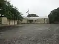 Kendalia Library on Ranch Road 473
.jpg.webp) Elbel Building
Elbel Building
Major highways
- Ranch to Market Road 473
- Farm to Market Road 3351
References
- U.S. Geological Survey Geographic Names Information System: Kendalia, Texas. Retrieved on May 12, 2017.
- Rand McNally. The Road Atlas '08. Chicago: Rand McNally, 2008, pp. 100-101.
- U.S. Geological Survey Geographic Names Information System: Kendalia, Texas
- Zip Code Lookup
- "U.S. Census website". United States Census Bureau. Retrieved 2008-01-31.
- Kendalia, Texas, Handbook of Texas Online, 2008-01-17. Accessed 2008-09-26.
External links
Municipalities and communities of Kendall County, Texas, United States | ||
|---|---|---|
| Cities | 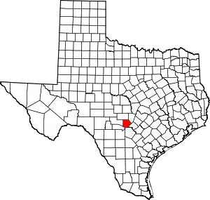 Kendall County map | |
| CDP | ||
| Other unincorporated communities | ||
| Ghost towns | ||
| Footnotes | ‡This populated place also has portions in an adjacent county or counties | |
| ||