Kinondoni District
Kinondoni District is a district in north west of Dar es Salaam's central business district, Tanzania, others being Temeke (to the far Southeast) and Ilala (downtown Dar es Salaam). To the east is the Indian Ocean, to the north and west the Pwani Region of Tanzania. The area of Kinondoni is 537 km2 (207 sq mi).
Kinondoni | |
|---|---|
.jpg.webp) Kinondoni in 2015. | |
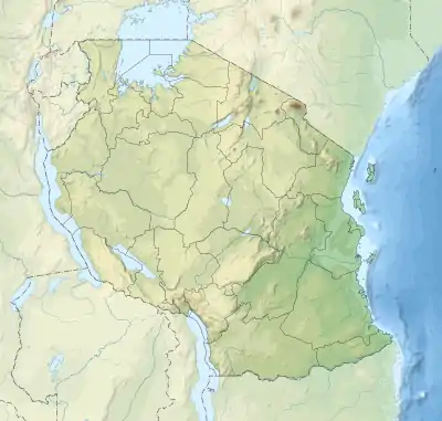 Location of Kinondoni District Location in Tanzania 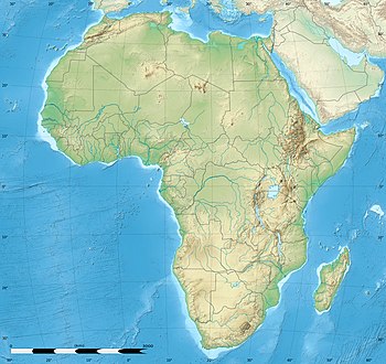 Location of Kinondoni District Location in Africa | |
| Coordinates: 6.795°S 39.266°E | |
| Country | Tanzania |
| Region | Dar es Salaam |
| District | Kinondoni |
| Area | |
| • Total | 537 km2 (207 sq mi) |
| Population (2012 census) | |
| • Total | 1,775,049 |
| • Density | 3,300/km2 (8,600/sq mi) |
| Time zone | UTC+3 (EAT) |
| Area code(s) | 022 |
| Website | www |
The 2002 Tanzanian National Census showed that the population of Kinondoni was 1,083,913.[1] The census of 2012 showed that the population of Kinondoni was 1,775,049: 914,247 female and 860,802 male. There are 446,504 households in Kinondoni with an average of 4 people per household.[2]
The original inhabitants of Kinondoni were the Zaramo and Ndengereko, but due to urbanization the district has become multi-ethnic.[3]
Wards
Administratively, Kinondoni District is broken into four divisions, 27 wards, and 113 sub-wards. Below is a list of the wards in Kinondoni District:
Sources
References
| Categories |
|
|---|---|
| Districts | |
| History | |
| Education | |
| Transport | |
| Landmarks | |
| |