Knatts Valley
Knatts Valley is a hamlet situated in the West Kingsdown civil parish in the county of Kent, England.
| Knatts Valley | |
|---|---|
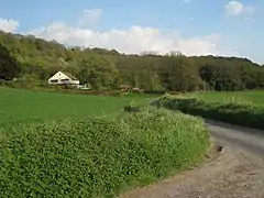 House on Knatts Valley Road | |
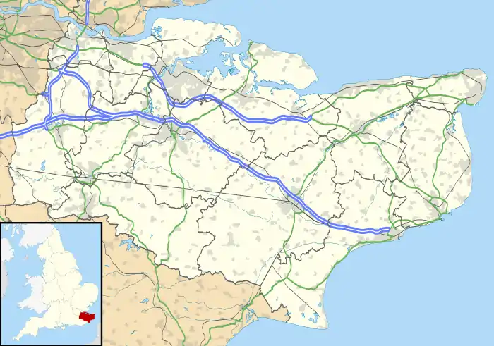 Knatts Valley Location within Kent | |
| Civil parish | |
| District | |
| Shire county | |
| Region | |
| Country | England |
| Sovereign state | United Kingdom |
| Post town | Sevenoaks |
| Postcode district | TN15 |
| Police | Kent |
| Fire | Kent |
| Ambulance | South East Coast |
| UK Parliament | |
It was originally a rural community consisting mainly of several smallholdings: the principal farms being Knatts Farm (sheep), giving its name to the area; and Maplescombe Farm (cattle). One settlement in the valley is Romney Street; the word street meaning hamlet in these parts of Kent. To the east there is a development of housing within a wooded area, mainly of detached housing, and to the west is a similar development — "East Hill". There is a golf course and a residential caravan park. Here is also an unlicensed airstrip, being part of Romney Street Farm, with a north–south grass runway east of Upper Wood.
| Wikimedia Commons has media related to Knatts Valley. |
This article is issued from Wikipedia. The text is licensed under Creative Commons - Attribution - Sharealike. Additional terms may apply for the media files.