Koppa, India
Koppa is a panchayat town in Chikkamagaluru district in the Indian state of Karnataka. It is the headquarters of Koppa sub-district. Koppa is located at 13.53°N 75.36°E.[1]
Koppa, India | |
|---|---|
town | |
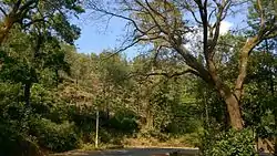 Summer view of a tea estate near Koppa | |
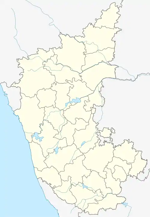 Koppa, India Location in Karnataka, India | |
| Coordinates: 13.53°N 75.36°E | |
| Country | India |
| State | Karnataka |
| District | Chikkamagaluru district |
| Region | Malenadu |
| Elevation | 789 m (2,589 ft) |
| Population (2011) | |
| • Total | 4,993 |
| Languages | |
| • Official | Kannada |
| • Regional | Kannada |
| Time zone | UTC+5:30 (IST) |
| Vehicle registration | KA-18 |
Demographics
As of 2011 India census,[2] Koppa town had a population 4,993. Males constituted 49.2% of the population and females 50.8%. Koppa had an average literacy rate of 86.4%, higher than the national average of 74.04%: male literacy was 88%, and female literacy was 84.8%. In Koppa, 8.9% of the population was under 6 years of age.
References
- "Where is Koppa, Karnataka, India on Map Lat Long Coordinates". www.latlong.net.
- "Census of India: Search Details". Censusindia.gov.in. Retrieved 12 May 2020.
This article is issued from Wikipedia. The text is licensed under Creative Commons - Attribution - Sharealike. Additional terms may apply for the media files.