Koromiko, New Zealand
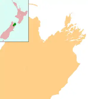
Koromiko is a locality in Marlborough, New Zealand. State Highway 1 runs through the area. Picton is about 6.5 km (4.0 mi) to the northeast, and Blenheim is about 21 km (13 mi) to the south.[1][2]
Koromiko | |
|---|---|
 Koromiko | |
| Coordinates: 41°20′23″S 173°57′45″E | |
| Country | New Zealand |
| Region | Marlborough |
_Picton-Koromiko_airfield.jpg.webp)
Picton Airport is located at Koromiko
Picton Aerodrome is located at Koromiko. It has flights to and from Wellington several times a day operated by Sounds Air.[3]
Education
Koromiko School was a coeducational full primary (years 1–8) school. It was founded in 1873,[4] and closed at the beginning of 2013.[5]
Notes
- Peter Dowling (editor) (2004). Reed New Zealand Atlas. Reed Books. pp. map 61. ISBN 0-7900-0952-8.CS1 maint: extra text: authors list (link)
- Roger Smith, GeographX (2005). The Geographic Atlas of New Zealand. Robbie Burton. pp. map 139. ISBN 1-877333-20-4.
- "Timetables". Sounds Air. Archived from the original on 22 January 2009. Retrieved 28 May 2008.
- "Koromiko School". Archived from the original on 14 October 2008.
- "School Mergers, Closures and New Schools - 2012 tables". New Zealand Ministry of Education. Retrieved 16 December 2014.
This article is issued from Wikipedia. The text is licensed under Creative Commons - Attribution - Sharealike. Additional terms may apply for the media files.