Koungheul
Koungheul is a commune in central Senegal in the department of the same name. It lies in the region of Kaffrine and is situated between the towns of Kaolack and Tambacounda. There are about 15,000 inhabitants,most of whom are Wolof people.
Koungheul | |
|---|---|
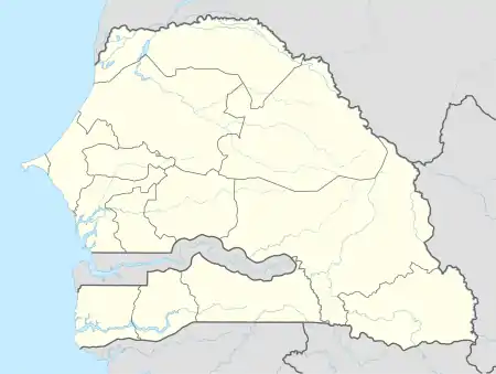 Koungheul Location within Senegal | |
| Coordinates: 13°59′0″N 14°48′0″W | |
| Country | |
| Region | Kaffrine |
| Département | Koungheul |
| Population | |
| • Total | 15,000 |
| Time zone | UTC+0 (GMT) |
Transport
It is served by a railway station on the Dakar-Niger Railway.
Climate
Koungheul has a hot semi-arid climate (BSh) with no rainfall from November to May and moderate to heavy rainfall from June to October.
| Climate data for Koungheul | |||||||||||||
|---|---|---|---|---|---|---|---|---|---|---|---|---|---|
| Month | Jan | Feb | Mar | Apr | May | Jun | Jul | Aug | Sep | Oct | Nov | Dec | Year |
| Average high °C (°F) | 33.7 (92.7) |
36.5 (97.7) |
38.4 (101.1) |
39.4 (102.9) |
39.3 (102.7) |
36.0 (96.8) |
32.4 (90.3) |
31.4 (88.5) |
32.0 (89.6) |
33.9 (93.0) |
35.3 (95.5) |
33.5 (92.3) |
35.2 (95.3) |
| Daily mean °C (°F) | 24.2 (75.6) |
26.6 (79.9) |
28.8 (83.8) |
30.3 (86.5) |
31.0 (87.8) |
29.6 (85.3) |
27.5 (81.5) |
26.9 (80.4) |
27.1 (80.8) |
27.7 (81.9) |
26.6 (79.9) |
24.2 (75.6) |
27.5 (81.6) |
| Average low °C (°F) | 14.7 (58.5) |
16.7 (62.1) |
19.2 (66.6) |
21.2 (70.2) |
22.8 (73.0) |
23.2 (73.8) |
22.7 (72.9) |
22.5 (72.5) |
22.2 (72.0) |
21.6 (70.9) |
18.0 (64.4) |
15.0 (59.0) |
20.0 (68.0) |
| Average rainfall mm (inches) | 0 (0) |
0 (0) |
0 (0) |
0 (0) |
3 (0.1) |
80 (3.1) |
160 (6.3) |
212 (8.3) |
169 (6.7) |
59 (2.3) |
1 (0.0) |
2 (0.1) |
686 (26.9) |
| Source: Climate-Data.org[1] | |||||||||||||
See also
References
- "Climate: Koungheul". Climate-Data.org. Retrieved August 6, 2020.
This article is issued from Wikipedia. The text is licensed under Creative Commons - Attribution - Sharealike. Additional terms may apply for the media files.
