Kreuzau
Kreuzau is a municipality in the district of Düren in the state of North Rhine-Westphalia, Germany. It is located on the river Rur, approx. 5 km south of Düren.
Kreuzau | |
|---|---|
 Coat of arms | |
Location of Kreuzau within Düren district  | |
 Kreuzau 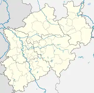 Kreuzau | |
| Coordinates: 50°45′00″N 06°28′59″E | |
| Country | Germany |
| State | North Rhine-Westphalia |
| Admin. region | Köln |
| District | Düren |
| Government | |
| • Mayor | Walter Ramm (CDU) |
| Area | |
| • Total | 41.77 km2 (16.13 sq mi) |
| Highest elevation | 360 m (1,180 ft) |
| Lowest elevation | 142 m (466 ft) |
| Population (2019-12-31)[1] | |
| • Total | 17,444 |
| • Density | 420/km2 (1,100/sq mi) |
| Time zone | UTC+01:00 (CET) |
| • Summer (DST) | UTC+02:00 (CEST) |
| Postal codes | 52372 |
| Dialling codes | 02422, 02427, 02421 |
| Vehicle registration | DN |
| Website | www.kreuzau.de |
Geography
Neighbouring communities
Kreuzau is surrounded by the following settlements, listed clockwise beginning in the north: the county town of Düren and the municipalities of Nörvenich, Vettweiß, Nideggen and Hürtgenwald, all in the county of Düren.
Municipal subdivisions
The municipality Kreuzau includes the following civil parishes (Ortsteil):
- Bogheim
- Boich
- Drove
- Kreuzau (incl. Schneidhausen) with 5,150 inhabitants on 31 October 2015
- Leversbach
- Obermaubach (incl. Schlagstein)
- Stockheim
- Thum
- Üdingen
- Untermaubach (incl. Bilstein)
- Winden (incl. Bergheim and Langenbroich)
In addition there was the now extinct village of Hemgenberg.
Twin towns
Kreuzau is twinned with:
 Obervellach, Austria
 Plancoët, France
Towns and municipalities in Düren (district) | ||
|---|---|---|
Coat of Arms of Düren district | ||
| Wikimedia Commons has media related to Kreuzau. |
References
- "Bevölkerung der Gemeinden Nordrhein-Westfalens am 31. Dezember 2019" (in German). Landesbetrieb Information und Technik NRW. Retrieved 17 June 2020.
| Authority control |
|---|
This article is issued from Wikipedia. The text is licensed under Creative Commons - Attribution - Sharealike. Additional terms may apply for the media files.