Kurmangazy, Atyrau Region
Kurmangazy (Kazakh: Құрманғазы, Qurmanǵazy, قۇرمانعازى), before 2018 Ganyushkino (Kazakh: Ганюшкин, Ganıýshkın, گانيۇشكٸن; Russian: Ганюшкино, Ganyushkino) is the administrative center of the Kurmangazy District, Atyrau Region, Kazakhstan. Kurmangazy is situated at 46°38'N, 49°08'E with an elevation of −23 m (−75 ft). Kurmangazy is in the west of Atyrau and close to the north shore of the Caspian Sea and the Kazakhstan–Russia border. It is in the area west of the Ural River and thus in the European part of Kazakhstan. Population: 12,750 (2009 Census results);[1] 12,419 (1999 Census results).[1]
Kurmangazy
Құрманғазы Qurmanǵazy قۇرمانعازى | |
|---|---|
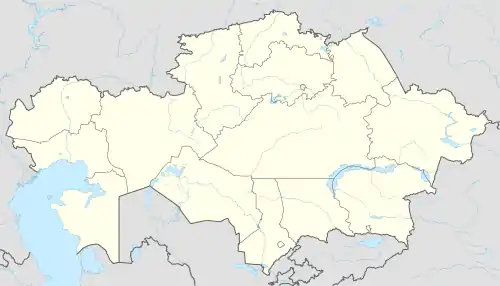 Kurmangazy Location in Kazakhstan | |
| Coordinates: 46°36′00″N 49°16′00″E | |
| Country | Kazakhstan |
| Region | Atyrau Region |
| Elevation | −23 m (−75.5 ft) |
| Population | |
| • Total | 13 400 |
| • Summer (DST) | +5 |
References
- "Население Республики Казахстан" (in Russian). Департамент социальной и демографической статистики. Retrieved 8 December 2013.
External links
Capital: Atyrau | ||
| Districts | 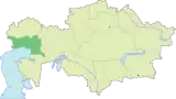 | |
| Major cities | ||
| Towns and villages |
| |
This article is issued from Wikipedia. The text is licensed under Creative Commons - Attribution - Sharealike. Additional terms may apply for the media files.