L'Anse-au-Clair
L'Anse-au-Clair is a town in the Labrador portion of Newfoundland and Labrador, Canada. The town has a population of 216 in the 2016 census, up from 192 in 2011.[1]
L'Anse-au-Clair | |
|---|---|
Town | |
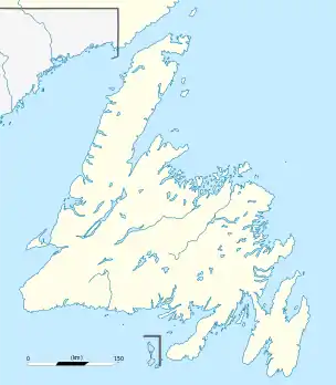 L'Anse-au-Clair Location of L'Anse-au-Clair in Newfoundland | |
| Coordinates: 51°26′00″N 57°04′02″W | |
| Country | Canada |
| Province | Newfoundland and Labrador |
| Settled | 1825 |
| Area | |
| • Land | 61.92 km2 (23.91 sq mi) |
| Population (2016)[1] | |
| • Total | 216 |
| • Density | 3.5/km2 (9/sq mi) |
| Time zone | UTC-4:00 (Atlantic Time) |
| • Summer (DST) | UTC-3:00 (Atlantic Daylight) |
| Area code(s) | 709 |
| Highways | |
It is located on Route 510, about 3 kilometres (1.9 mi) from the Quebec–Labrador border. It was established by the French in the early 18th century. People began to settle in the L'Anse-au-Clair area after the Quebec–Labrador border dispute was settled in 1825.[2]
References
- "L'Anse-au-Clair, T [Census subdivision], Newfoundland and Labrador and Canada [Country] (table) Census Profile". 2016 Census. Statistics Canada. Retrieved 27 February 2018.
- "L'Anse au Clair". Labrador Coastal Drive.
External links
 Media related to L'Anse-au-Clair at Wikimedia Commons
- L'anse au Clair
- L'Anse-au-Clair - Encyclopedia of Newfoundland and Labrador, vol. 3, p. 245.
This article is issued from Wikipedia. The text is licensed under Creative Commons - Attribution - Sharealike. Additional terms may apply for the media files.