La Union, New Mexico
La Union is a census-designated place in Doña Ana County, New Mexico, United States. Its population was 1,106 as of the 2010 census.[1] NM 182 connects the community to NM 28.
La Union, New Mexico | |
|---|---|
Census-designated place | |
 La Union | |
| Coordinates: 31°57′02″N 106°39′42″W | |
| Country | United States |
| State | New Mexico |
| County | Doña Ana |
| Area | |
| • Total | 4.143 sq mi (10.73 km2) |
| • Land | 4.143 sq mi (10.73 km2) |
| • Water | 0 sq mi (0 km2) |
| Elevation | 3,799 ft (1,158 m) |
| Population | |
| • Total | 1,106 |
| • Density | 270/sq mi (100/km2) |
| Time zone | UTC-7 (Mountain (MST)) |
| • Summer (DST) | UTC-6 (MDT) |
| Area code(s) | 575 |
| GNIS feature ID | 920626[2] |
Geography
La Union is located at 32.980625°N 107.307469°W. According to the U.S. Census Bureau, the community has an area of 0.979 square miles (2.54 km2), all land.[1]
Education
The Gadsden Independent School District operates public schools, including La Union Elementary School and the designated high schools would be Santa Teresa High School or Alta Vista Early College High School.[3]
Local attractions
References
- "2010 Census Gazetteer Files - Places: New Mexico". U.S. Census Bureau. Archived from the original on July 14, 2014. Retrieved August 21, 2014.
- "La Union". Geographic Names Information System. United States Geological Survey.
- "Elementary schools Archived 2015-09-24 at the Wayback Machine." Gadsden Independent School District. Retrieved on August 19, 2015.
Municipalities and communities of Doña Ana County, New Mexico, United States | ||
|---|---|---|
| Cities | 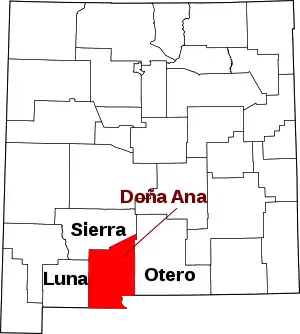 Map of New Mexico highlighting Doña Ana County | |
| Town | ||
| Village | ||
| CDPs | ||
| Unincorporated community | ||
| Ghost towns | ||
| ||
This article is issued from Wikipedia. The text is licensed under Creative Commons - Attribution - Sharealike. Additional terms may apply for the media files.