San Pablo, New Mexico
San Pablo is a census-designated place in Doña Ana County, New Mexico, United States. Its population was 806 as of the 2010 census.[1] The community is located south of Las Cruces along New Mexico State Road 28.
San Pablo, New Mexico | |
|---|---|
Census-designated place | |
 San Pablo | |
| Coordinates: 32°14′58″N 106°46′22″W | |
| Country | United States |
| State | New Mexico |
| County | Doña Ana |
| Area | |
| • Total | 1.217 sq mi (3.15 km2) |
| • Land | 1.217 sq mi (3.15 km2) |
| • Water | 0 sq mi (0 km2) |
| Elevation | 3,875 ft (1,181 m) |
| Population | |
| • Total | 806 |
| • Density | 660/sq mi (260/km2) |
| Time zone | UTC-7 (Mountain (MST)) |
| • Summer (DST) | UTC-6 (MDT) |
| Area code(s) | 575 |
| GNIS feature ID | 899898[2] |
Geography
San Pablo is located at 32.250657°N 106.762599°W. According to the U.S. Census Bureau, the community has an area of 1.217 square miles (3.15 km2), all land.[1]
References
- "2010 Census Gazetteer Files - Places: New Mexico". U.S. Census Bureau. Archived from the original on July 14, 2014. Retrieved August 21, 2014.
- "San Pablo". Geographic Names Information System. United States Geological Survey.
Municipalities and communities of Doña Ana County, New Mexico, United States | ||
|---|---|---|
| Cities | 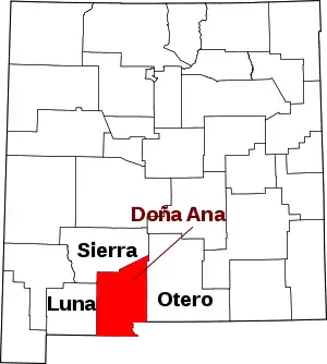 Map of New Mexico highlighting Doña Ana County | |
| Town | ||
| Village | ||
| CDPs | ||
| Unincorporated community | ||
| Ghost towns | ||
| ||
| Authority control |
|
|---|
This article is issued from Wikipedia. The text is licensed under Creative Commons - Attribution - Sharealike. Additional terms may apply for the media files.