Labutta
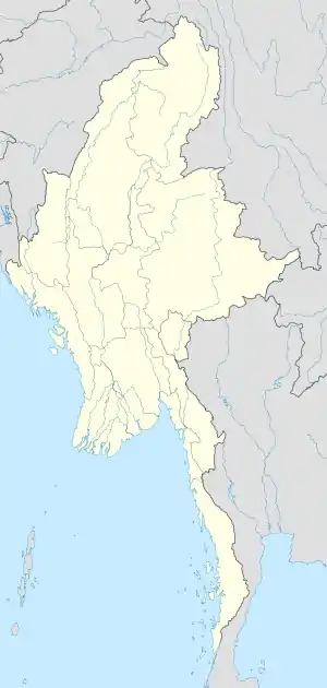
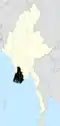
Labutta or Latputta (Burmese: လပွတ္တာမြို့ [la̰pʊʔtàmjo̰]) is a town in the Ayeyarwady Region of south-west Myanmar. It is the administrative seat of Labutta Township and the Labutta District, Ayeyarwaddy Region. Labutta lies on the bank of Yway River.
Labutta
လပွတ္တာမြို့ Latputta | |
|---|---|
Town | |
 | |
 Labutta Location in Burma | |
| Coordinates: 16°08′48″N 94°45′40″E | |
| Country | |
| Region | |
| District | Labutta (Latputta) |
| Township | Labutta (Latputta) |
| Population (2010)[1] | 46,170 |
| • Religions | Buddhism |
| Time zone | UTC+6.30 (MST) |
| Area code(s) | 42 |
| [2] | |
Labutta has Old Township of Labutta and New Township of Labutta called 3 mile. It has a population of 315,218 (2017).
In 2008 Labutta was heavily damaged by Cyclone Nargis.[3]
Division: Ayeyeawaddy
District: Labutta (Latputta)
Weather: 80°F (27°C), Wind S at 9 mph (14 km/h), 87% Humidity
Local time: Wednesday 5:34 PM
Population: 315,218 (2017)
Township: Labutta (Latputta)
Area code: 42
Notes
- ""Myanmar: largest cities and towns and statistics of their population:calculation 2010"". Archived from the original on 2012-09-19. World Gazetteer
- "National Telephone Area Codes". Myanmar Yellow Pages. Archived from the original on 2010-11-20.
- "Drinking water shortage in cylone Nargis hit Latputa" Mizzima TV
External links
Capital: Pathein | ||
| Hinthada District |
|  |
| Labutta District |
| |
| Ma-ubin District | ||
| Myaungmya District |
| |
| Pathein District | ||
| Pyapon District |
| |
| Kyonpyaw District |
| |
| Myanaung District |
| |
| Main cities and towns |
| |
This article is issued from Wikipedia. The text is licensed under Creative Commons - Attribution - Sharealike. Additional terms may apply for the media files.