Lake Selina
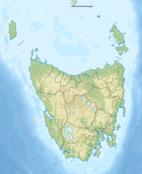
Lake Selina is a natural glacial lake located to the east of Mount Read, in the West Coast Range, on the west coast of Tasmania, Australia.
| Lake Selina | |
|---|---|
 Lake Selina Location in Tasmania | |
| Location | West Coast, Tasmania |
| Coordinates | 41°52′43″S 145°36′29″E |
| Type | Natural glacial lake |
| Primary inflows | West Coast Range |
| Basin countries | Australia |
| Surface elevation | 516 m (1,693 ft) AHD |
Its location and conditions have led it be a location of research into Pleistocene and Holocene environments.[1][2]
It has an estimated surface area of 185,000 square meters and is located close to the Anthony Road B28 that travels between Tullah and Queenstown.[3]
From the east, Lake Selina with an elevation of 516 metres (1,693 ft) AHD is the furthest east adjacent to Anthony Road; then Lake Westwood, and then Lake Julia with the elevation of 619 metres (2,031 ft); with Mount Julia to the west at 827 metres (2,713 ft) AHD .
See also
- List of reservoirs and dams in Tasmania
- List of lakes in Tasmania
- List of glacial lakes in Australia
References
- Colhoun, Eric A.; Polaa, Jeremy S.; Bartonb, Charles E.; Heijnisc, Henk (June 1999). "Late Pleistocene vegetation and climate history of Lake Selina, Western Tasmania". Quaternary International. 57–58: 5–23. doi:10.1016/s1040-6182(98)00046-9.
- Mackenzie, L. L.; Moss, P. T.; Petherick, L. M.; Marx, S. K. (7–12 December 2008). "Late Holocene vegetation and environments of Lake Selina, Western Tasmania". Australasian Quaternary Association Biennial Conference. Victor Harbour, Australia. 17.
- "Archived copy". Archived from the original on 12 March 2011. Retrieved 5 October 2010.CS1 maint: archived copy as title (link)
Further reading
- Whitham, Charles (2003). Western Tasmania - A land of riches and beauty (Reprint 2003 ed.). Queenstown: Municipality of Queenstown.
This article is issued from Wikipedia. The text is licensed under Creative Commons - Attribution - Sharealike. Additional terms may apply for the media files.