Lambidou
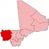
Lambidou is a rural commune and village in the Cercle of Diéma in the Kayes Region of western Mali. As well as the main village (chef-lieu) of Lambidou, the commune includes the villages of Singoné, Koumarenga and Kary. In the 2009 census the commune had a population of 14,947.
Lambidou | |
|---|---|
Commune and village | |
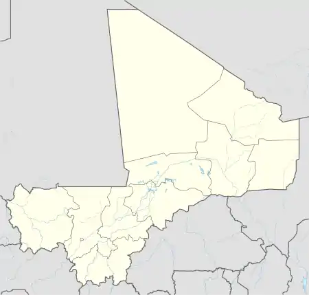 Lambidou Location in Mali | |
| Coordinates: 14.3136°N 9.5515°W | |
| Country | |
| Region | Kayes Region |
| Cercle | Diéma Cercle |
| Area | |
| • Total | 333 km2 (129 sq mi) |
| Population (2009 census)[2] | |
| • Total | 14,947 |
| • Density | 45/km2 (120/sq mi) |
| Time zone | UTC+0 (GMT) |
References
- Plan de Sécurite Alimentaire Commune Rurale de Lambidou 2007-2011 (PDF) (in French), Commissariat à la Sécurité Alimentaire, République du Mali, USAID-Mali, 2006, archived from the original (PDF) on 2012-06-08.
- Resultats Provisoires RGPH 2009 (Région de Kayes) (PDF) (in French), République de Mali: Institut National de la Statistique, archived from the original (PDF) on 2012-09-19.
This article is issued from Wikipedia. The text is licensed under Creative Commons - Attribution - Sharealike. Additional terms may apply for the media files.